Distance from Oxford to Natchez
Distance between Oxford and Natchez is 358 kilometers (222 miles).
Driving distance from Oxford to Natchez is 411 kilometers (256 miles).
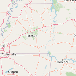
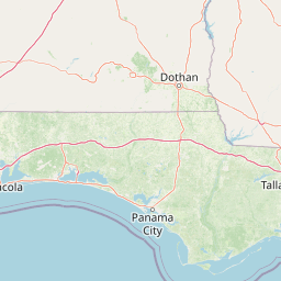
Distance Map Between Oxford and Natchez
Oxford, Jackson, United States ↔ Natchez, Jackson, United States = 222 miles = 358 km.


How far is it between Oxford and Natchez
Oxford is located in United States with (34.3665,-89.5193) coordinates and Natchez is located in United States with (31.5604,-91.4032) coordinates. The calculated flying distance from Oxford to Natchez is equal to 222 miles which is equal to 358 km.
If you want to go by car, the driving distance between Oxford and Natchez is 411.19 km. If you ride your car with an average speed of 112 kilometers/hour (70 miles/h), travel time will be 03 hours 40 minutes. Please check the avg. speed travel time table on the right for various options.
Difference between fly and go by a car is 53 km.
| City/Place | Latitude and Longitude | GPS Coordinates |
|---|---|---|
| Oxford | 34.3665, -89.5193 | 34° 21´ 59.4000'' N 89° 31´ 9.3000'' W |
| Natchez | 31.5604, -91.4032 | 31° 33´ 37.5840'' N 91° 24´ 11.4120'' W |
Estimated Travel Time Between Oxford and Natchez
| Average Speed | Travel Time |
|---|---|
| 30 mph (48 km/h) | 08 hours 33 minutes |
| 40 mph (64 km/h) | 06 hours 25 minutes |
| 50 mph (80 km/h) | 05 hours 08 minutes |
| 60 mph (97 km/h) | 04 hours 14 minutes |
| 70 mph (112 km/h) | 03 hours 40 minutes |
| 75 mph (120 km/h) | 03 hours 25 minutes |
Related Distances from Oxford
| Cities | Distance |
|---|---|
| Oxford 4 to Olive Branch | 91 km |
| Oxford 4 to Ocean Springs | 525 km |
| Oxford 4 to Hattiesburg | 401 km |
| Oxford 4 to Clarksdale | 102 km |
| Oxford 4 to Biloxi | 522 km |
Related Distances to Natchez
| Cities | Distance |
|---|---|
| Vicksburg to Natchez | 116 km |
| Oxford 4 to Natchez | 411 km |
| Starkville to Natchez | 367 km |
| Ocean Springs to Natchez | 366 km |
| Tupelo to Natchez | 459 km |