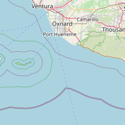
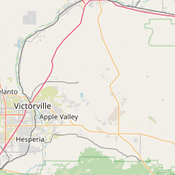
Distance from Oxnard to Adelanto
Distance between Oxnard and Adelanto is 168 kilometers (104 miles).
Driving distance from Oxnard to Adelanto is 216 kilometers (134 miles).
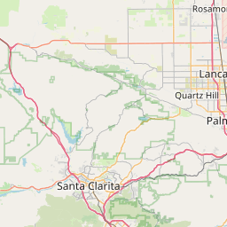
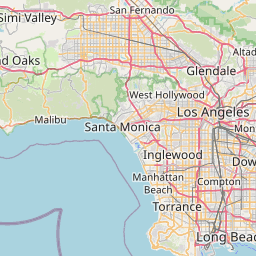
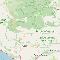
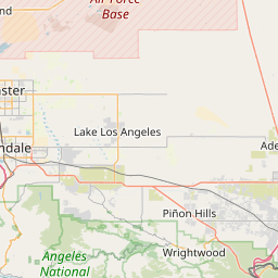
Distance Map Between Oxnard and Adelanto
Oxnard, Sacramento, United States ↔ Adelanto, Sacramento, United States = 104 miles = 168 km.


How far is it between Oxnard and Adelanto
Oxnard is located in United States with (34.1975,-119.1771) coordinates and Adelanto is located in United States with (34.5828,-117.4092) coordinates. The calculated flying distance from Oxnard to Adelanto is equal to 104 miles which is equal to 168 km.
If you want to go by car, the driving distance between Oxnard and Adelanto is 216.08 km. If you ride your car with an average speed of 112 kilometers/hour (70 miles/h), travel time will be 01 hours 55 minutes. Please check the avg. speed travel time table on the right for various options.
Difference between fly and go by a car is 48 km.
| City/Place | Latitude and Longitude | GPS Coordinates |
|---|---|---|
| Oxnard | 34.1975, -119.1771 | 34° 11´ 51.0000'' N 119° 10´ 37.3800'' W |
| Adelanto | 34.5828, -117.4092 | 34° 34´ 57.9720'' N 117° 24´ 33.1920'' W |
Estimated Travel Time Between Oxnard and Adelanto
| Average Speed | Travel Time |
|---|---|
| 30 mph (48 km/h) | 04 hours 30 minutes |
| 40 mph (64 km/h) | 03 hours 22 minutes |
| 50 mph (80 km/h) | 02 hours 42 minutes |
| 60 mph (97 km/h) | 02 hours 13 minutes |
| 70 mph (112 km/h) | 01 hours 55 minutes |
| 75 mph (120 km/h) | 01 hours 48 minutes |
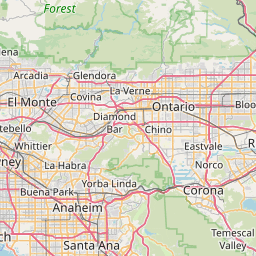
Related Distances from Oxnard
| Cities | Distance |
|---|---|
| Oxnard to Los Angeles | 99 km |
| Oxnard to Camarillo | 16 km |
| Oxnard to Bakersfield | 191 km |
| Oxnard to Calabasas | 57 km |
| Oxnard to Beverly Hills | 91 km |
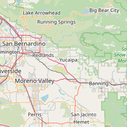
Related Distances to Adelanto
| Cities | Distance |
|---|---|
| Los Angeles to Adelanto | 137 km |
| Fontana to Adelanto | 63 km |
| Victorville to Adelanto | 14 km |
| Lancaster to Adelanto | 81 km |
| Hesperia to Adelanto | 27 km |