Distance from Oxnard to Fullerton
Distance between Oxnard and Fullerton is 121 kilometers (75 miles).
Driving distance from Oxnard to Fullerton is 144 kilometers (90 miles).
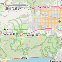
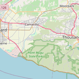
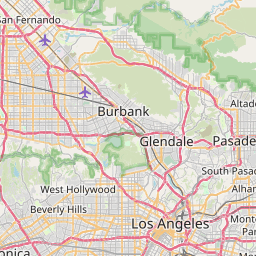
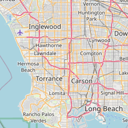
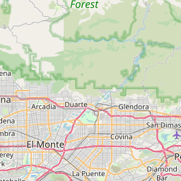
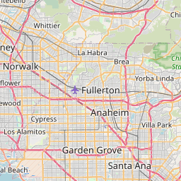
Distance Map Between Oxnard and Fullerton
Oxnard, Sacramento, United States ↔ Fullerton, Sacramento, United States = 75 miles = 121 km.


How far is it between Oxnard and Fullerton
Oxnard is located in United States with (34.1975,-119.1771) coordinates and Fullerton is located in United States with (33.8703,-117.9253) coordinates. The calculated flying distance from Oxnard to Fullerton is equal to 75 miles which is equal to 121 km.
If you want to go by car, the driving distance between Oxnard and Fullerton is 144.35 km. If you ride your car with an average speed of 112 kilometers/hour (70 miles/h), travel time will be 01 hours 17 minutes. Please check the avg. speed travel time table on the right for various options.
Difference between fly and go by a car is 23 km.
| City/Place | Latitude and Longitude | GPS Coordinates |
|---|---|---|
| Oxnard | 34.1975, -119.1771 | 34° 11´ 51.0000'' N 119° 10´ 37.3800'' W |
| Fullerton | 33.8703, -117.9253 | 33° 52´ 13.0440'' N 117° 55´ 31.2240'' W |
Estimated Travel Time Between Oxnard and Fullerton
| Average Speed | Travel Time |
|---|---|
| 30 mph (48 km/h) | 03 hours 00 minutes |
| 40 mph (64 km/h) | 02 hours 15 minutes |
| 50 mph (80 km/h) | 01 hours 48 minutes |
| 60 mph (97 km/h) | 01 hours 29 minutes |
| 70 mph (112 km/h) | 01 hours 17 minutes |
| 75 mph (120 km/h) | 01 hours 12 minutes |
Related Distances from Oxnard
| Cities | Distance |
|---|---|
| Oxnard to Los Angeles | 99 km |
| Oxnard to Camarillo | 16 km |
| Oxnard to Bakersfield | 191 km |
| Oxnard to Calabasas | 57 km |
| Oxnard to Beverly Hills | 91 km |
Related Distances to Fullerton
| Cities | Distance |
|---|---|
| Orange to Fullerton | 18 km |
| Long Beach to Fullerton | 41 km |
| Los Angeles to Fullerton | 42 km |
| Irvine to Fullerton | 41 km |
| San Diego to Fullerton | 164 km |