Distance from Oxon Hill to Olney
Distance between Oxon Hill and Olney is 39 kilometers (25 miles).
Driving distance from Oxon Hill to Olney is 67 kilometers (42 miles).
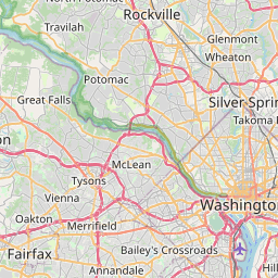
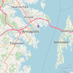
Distance Map Between Oxon Hill and Olney
Oxon Hill, Annapolis, United States ↔ Olney, Annapolis, United States = 25 miles = 39 km.


How far is it between Oxon Hill and Olney
Oxon Hill is located in United States with (38.8035,-76.9897) coordinates and Olney is located in United States with (39.1532,-77.0669) coordinates. The calculated flying distance from Oxon Hill to Olney is equal to 25 miles which is equal to 39 km.
If you want to go by car, the driving distance between Oxon Hill and Olney is 67.09 km. If you ride your car with an average speed of 112 kilometers/hour (70 miles/h), travel time will be 00 hours 35 minutes. Please check the avg. speed travel time table on the right for various options.
Difference between fly and go by a car is 28 km.
| City/Place | Latitude and Longitude | GPS Coordinates |
|---|---|---|
| Oxon Hill | 38.8035, -76.9897 | 38° 48´ 12.4200'' N 76° 59´ 22.9200'' W |
| Olney | 39.1532, -77.0669 | 39° 9´ 11.3760'' N 77° 4´ 0.9120'' W |
Estimated Travel Time Between Oxon Hill and Olney
| Average Speed | Travel Time |
|---|---|
| 30 mph (48 km/h) | 01 hours 23 minutes |
| 40 mph (64 km/h) | 01 hours 02 minutes |
| 50 mph (80 km/h) | 00 hours 50 minutes |
| 60 mph (97 km/h) | 00 hours 41 minutes |
| 70 mph (112 km/h) | 00 hours 35 minutes |
| 75 mph (120 km/h) | 00 hours 33 minutes |
Related Distances from Oxon Hill
| Cities | Distance |
|---|---|
| Oxon Hill to Bowie | 37 km |
| Oxon Hill to Baltimore | 75 km |
| Oxon Hill to Fort Washington | 13 km |
| Oxon Hill to Montgomery Village | 69 km |
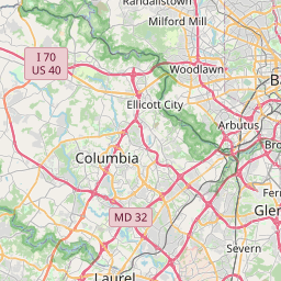
| Oxon Hill to Laurel | 46 km |
Related Distances to Olney
| Cities | Distance |
|---|---|
| Rockville to Olney | 14 km |
| Silver Spring to Olney | 23 km |
| Towson to Olney | 70 km |
| Potomac to Olney | 31 km |
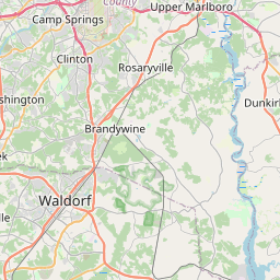
| Waldorf to Olney | 86 km |