Distance from Ozark to Ballwin
Distance between Ozark and Ballwin is 292 kilometers (181 miles).
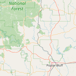
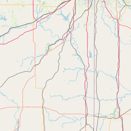
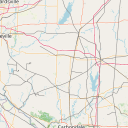
Distance Map Between Ozark and Ballwin
Ozark, Jefferson City, United States ↔ Ballwin, Jefferson City, United States = 181 miles = 292 km.
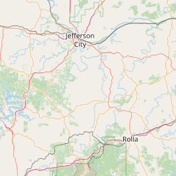
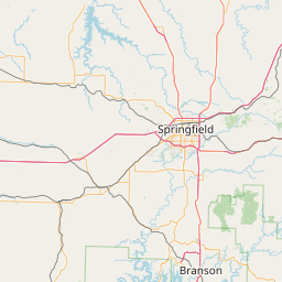
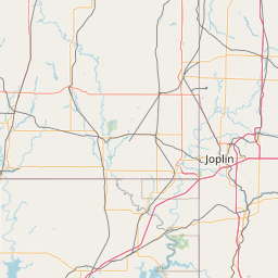

Leaflet | © OpenStreetMap
How far is it between Ozark and Ballwin
Ozark is located in United States with (37.0209,-93.206) coordinates and Ballwin is located in United States with (38.5951,-90.5462) coordinates. The calculated flying distance from Ozark to Ballwin is equal to 181 miles which is equal to 292 km.
| City/Place | Latitude and Longitude | GPS Coordinates |
|---|---|---|
| Ozark | 37.0209, -93.206 | 37° 1´ 15.2040'' N 93° 12´ 21.6720'' W |
| Ballwin | 38.5951, -90.5462 | 38° 35´ 42.1800'' N 90° 32´ 46.4280'' W |
Ozark, Jefferson City, United States
Related Distances from Ozark
| Cities | Distance |
|---|---|
| Ozark to Kansas City | 296 km |
| Ozark to Cape Girardeau | 430 km |
| Ozark to Hannibal | 405 km |
| Ozark to Joplin | 136 km |
| Ozark to Lees Summit | 267 km |
Ballwin, Jefferson City, United States
Related Distances to Ballwin
| Cities | Distance |
|---|---|
| Kansas City to Ballwin | 374 km |
| St Louis to Ballwin | 36 km |
| Mehlville to Ballwin | 27 km |
| Hazelwood to Ballwin | 33 km |
| Affton to Ballwin | 26 km |