Distance from Ozersk to Kartaly
Distance between Ozersk and Kartaly is 301 kilometers (187 miles).
Driving distance from Ozersk to Kartaly is 405 kilometers (252 miles).
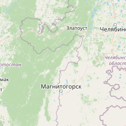
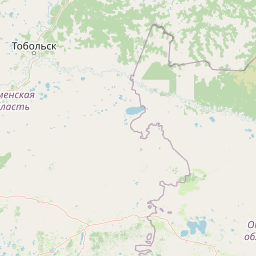
Distance Map Between Ozersk and Kartaly
Ozersk, Chelyabinsk, Russia ↔ Kartaly, Chelyabinsk, Russia = 187 miles = 301 km.


How far is it between Ozersk and Kartaly
Ozersk is located in Russia with (55.7556,60.7028) coordinates and Kartaly is located in Russia with (53.0529,60.649) coordinates. The calculated flying distance from Ozersk to Kartaly is equal to 187 miles which is equal to 301 km.
If you want to go by car, the driving distance between Ozersk and Kartaly is 405.47 km. If you ride your car with an average speed of 112 kilometers/hour (70 miles/h), travel time will be 03 hours 37 minutes. Please check the avg. speed travel time table on the right for various options.
Difference between fly and go by a car is 104 km.
| City/Place | Latitude and Longitude | GPS Coordinates |
|---|---|---|
| Ozersk | 55.7556, 60.7028 | 55° 45´ 20.0160'' N 60° 42´ 10.0080'' E |
| Kartaly | 53.0529, 60.649 | 53° 3´ 10.2600'' N 60° 38´ 56.5080'' E |
Estimated Travel Time Between Ozersk and Kartaly
| Average Speed | Travel Time |
|---|---|
| 30 mph (48 km/h) | 08 hours 26 minutes |
| 40 mph (64 km/h) | 06 hours 20 minutes |
| 50 mph (80 km/h) | 05 hours 04 minutes |
| 60 mph (97 km/h) | 04 hours 10 minutes |
| 70 mph (112 km/h) | 03 hours 37 minutes |
| 75 mph (120 km/h) | 03 hours 22 minutes |
Related Distances from Ozersk
| Cities | Distance |
|---|---|
| Ozersk to Kusa | 162 km |
| Ozersk to Snezhinsk | 47 km |
| Ozersk to Magnitogorsk | 344 km |
| Ozersk to Zlatoust | 134 km |
| Ozersk to Kyshtym | 14 km |
Related Distances to Kartaly
| Cities | Distance |
|---|---|
| Snezhinsk to Kartaly | 448 km |
| Ozersk to Kartaly | 405 km |
| Karabash to Kartaly | 367 km |
| Chebarkul to Kartaly | 284 km |