Distance from Pabbi to Swabi
Distance between Pabbi and Swabi is 63 kilometers (39 miles).
Driving distance from Pabbi to Swabi is 81 kilometers (50 miles).
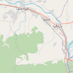
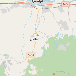
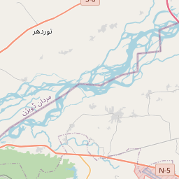
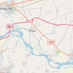
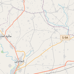
Distance Map Between Pabbi and Swabi
Pabbi, Peshawar, Pakistan ↔ Swabi, Peshawar, Pakistan = 39 miles = 63 km.


How far is it between Pabbi and Swābi
Pabbi is located in Pakistan with (34.0106,71.7989) coordinates and Swabi is located in Pakistan with (34.1199,72.4699) coordinates. The calculated flying distance from Pabbi to Swabi is equal to 39 miles which is equal to 63 km.
If you want to go by car, the driving distance between Pabbi and Swabi is 81.08 km. If you ride your car with an average speed of 112 kilometers/hour (70 miles/h), travel time will be 00 hours 43 minutes. Please check the avg. speed travel time table on the right for various options.
Difference between fly and go by a car is 18 km.
| City/Place | Latitude and Longitude | GPS Coordinates |
|---|---|---|
| Pabbi | 34.0106, 71.7989 | 34° 0´ 38.0160'' N 71° 47´ 56.0040'' E |
| Swabi | 34.1199, 72.4699 | 34° 7´ 11.5680'' N 72° 28´ 11.5320'' E |
Estimated Travel Time Between Pabbi and Swābi
| Average Speed | Travel Time |
|---|---|
| 30 mph (48 km/h) | 01 hours 41 minutes |
| 40 mph (64 km/h) | 01 hours 16 minutes |
| 50 mph (80 km/h) | 01 hours 00 minutes |
| 60 mph (97 km/h) | 00 hours 50 minutes |
| 70 mph (112 km/h) | 00 hours 43 minutes |
| 75 mph (120 km/h) | 00 hours 40 minutes |
Related Distances from Pabbi
| Cities | Distance |
|---|---|
| Pabbi to Swabi | 81 km |
| Pabbi to Shabqadar | 52 km |
| Pabbi to Tangi | 61 km |
| Pabbi to Tank | 298 km |
| Pabbi to Utmanzai | 44 km |
Related Distances to Swabi
| Cities | Distance |
|---|---|
| Mardan to Swabi | 62 km |
| Abbottabad to Swabi | 104 km |
| Haripur to Swabi | 65 km |
| Charsadda to Swabi | 80 km |
| Nowshera Cantonment to Swabi | 55 km |