Distance from Palestine to Abilene
Distance between Palestine and Abilene is 394 kilometers (245 miles).
Driving distance from Palestine to Abilene is 454 kilometers (282 miles).
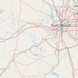
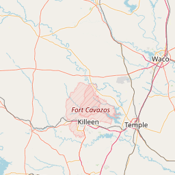
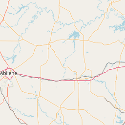
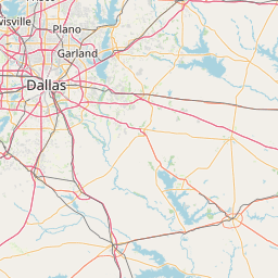
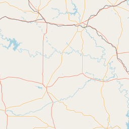
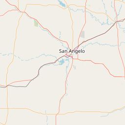
Distance Map Between Palestine and Abilene
Palestine, Austin, United States ↔ Abilene, Austin, United States = 245 miles = 394 km.


How far is it between Palestine and Abilene
Palestine is located in United States with (31.7621,-95.6308) coordinates and Abilene is located in United States with (32.4487,-99.7331) coordinates. The calculated flying distance from Palestine to Abilene is equal to 245 miles which is equal to 394 km.
If you want to go by car, the driving distance between Palestine and Abilene is 453.7 km. If you ride your car with an average speed of 112 kilometers/hour (70 miles/h), travel time will be 04 hours 03 minutes. Please check the avg. speed travel time table on the right for various options.
Difference between fly and go by a car is 60 km.
| City/Place | Latitude and Longitude | GPS Coordinates |
|---|---|---|
| Palestine | 31.7621, -95.6308 | 31° 45´ 43.6320'' N 95° 37´ 50.8440'' W |
| Abilene | 32.4487, -99.7331 | 32° 26´ 55.4640'' N 99° 43´ 59.3040'' W |
Estimated Travel Time Between Palestine and Abilene
| Average Speed | Travel Time |
|---|---|
| 30 mph (48 km/h) | 09 hours 27 minutes |
| 40 mph (64 km/h) | 07 hours 05 minutes |
| 50 mph (80 km/h) | 05 hours 40 minutes |
| 60 mph (97 km/h) | 04 hours 40 minutes |
| 70 mph (112 km/h) | 04 hours 03 minutes |
| 75 mph (120 km/h) | 03 hours 46 minutes |
Related Distances from Palestine
| Cities | Distance |
|---|---|
| Palestine to Houston | 244 km |
| Palestine to Lufkin | 112 km |
| Palestine to Dallas | 184 km |
| Palestine to Galveston | 325 km |
| Palestine to College Station | 166 km |
Related Distances to Abilene
| Cities | Distance |
|---|---|
| Dallas to Abilene | 291 km |
| Lubbock to Abilene | 269 km |
| Weatherford to Abilene | 195 km |
| Amarillo to Abilene | 460 km |
| San Angelo to Abilene | 144 km |