Distance from Palestine to Irving
Distance between Palestine and Irving is 170 kilometers (106 miles).
Driving distance from Palestine to Irving is 200 kilometers (124 miles).
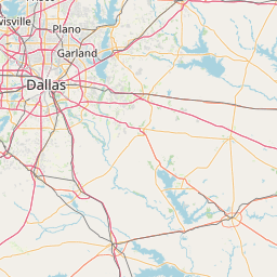
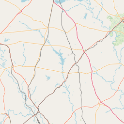
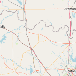
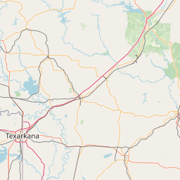
Distance Map Between Palestine and Irving
Palestine, Austin, United States ↔ Irving, Austin, United States = 106 miles = 170 km.


How far is it between Palestine and Irving
Palestine is located in United States with (31.7621,-95.6308) coordinates and Irving is located in United States with (32.814,-96.9489) coordinates. The calculated flying distance from Palestine to Irving is equal to 106 miles which is equal to 170 km.
If you want to go by car, the driving distance between Palestine and Irving is 200.15 km. If you ride your car with an average speed of 112 kilometers/hour (70 miles/h), travel time will be 01 hours 47 minutes. Please check the avg. speed travel time table on the right for various options.
Difference between fly and go by a car is 30 km.
| City/Place | Latitude and Longitude | GPS Coordinates |
|---|---|---|
| Palestine | 31.7621, -95.6308 | 31° 45´ 43.6320'' N 95° 37´ 50.8440'' W |
| Irving | 32.814, -96.9489 | 32° 48´ 50.4720'' N 96° 56´ 56.0040'' W |
Estimated Travel Time Between Palestine and Irving
| Average Speed | Travel Time |
|---|---|
| 30 mph (48 km/h) | 04 hours 10 minutes |
| 40 mph (64 km/h) | 03 hours 07 minutes |
| 50 mph (80 km/h) | 02 hours 30 minutes |
| 60 mph (97 km/h) | 02 hours 03 minutes |
| 70 mph (112 km/h) | 01 hours 47 minutes |
| 75 mph (120 km/h) | 01 hours 40 minutes |
Related Distances from Palestine
| Cities | Distance |
|---|---|
| Palestine to Houston | 244 km |
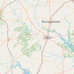
| Palestine to Lufkin | 112 km |
| Palestine to Dallas | 184 km |
| Palestine to Galveston | 325 km |
| Palestine to College Station | 166 km |
Related Distances to Irving
| Cities | Distance |
|---|---|
| Southlake to Irving | 33 km |
| Plano to Irving | 40 km |
| Richardson to Irving | 32 km |
| Mesquite to Irving | 41 km |
| Mckinney to Irving | 63 km |