Distance from Palghar to Vada
Distance between Palghar and Vada is 40 kilometers (25 miles).
Driving distance from Palghar to Vada is 47 kilometers (29 miles).
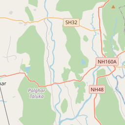
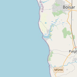
Distance Map Between Palghar and Vada
Palghar, Mumbai, India ↔ Vada, Mumbai, India = 25 miles = 40 km.


How far is it between Pālghar and Vāda
Palghar is located in India with (19.6969,72.7654) coordinates and Vada is located in India with (19.6535,73.1481) coordinates. The calculated flying distance from Palghar to Vada is equal to 25 miles which is equal to 40 km.
If you want to go by car, the driving distance between Palghar and Vada is 47.01 km. If you ride your car with an average speed of 112 kilometers/hour (70 miles/h), travel time will be 00 hours 25 minutes. Please check the avg. speed travel time table on the right for various options.
Difference between fly and go by a car is 7 km.
| City/Place | Latitude and Longitude | GPS Coordinates |
|---|---|---|
| Palghar | 19.6969, 72.7654 | 19° 41´ 48.9480'' N 72° 45´ 55.5480'' E |
| Vada | 19.6535, 73.1481 | 19° 39´ 12.4920'' N 73° 8´ 53.1960'' E |
Estimated Travel Time Between Pālghar and Vāda
| Average Speed | Travel Time |
|---|---|
| 30 mph (48 km/h) | 00 hours 58 minutes |
| 40 mph (64 km/h) | 00 hours 44 minutes |
| 50 mph (80 km/h) | 00 hours 35 minutes |
| 60 mph (97 km/h) | 00 hours 29 minutes |
| 70 mph (112 km/h) | 00 hours 25 minutes |
| 75 mph (120 km/h) | 00 hours 23 minutes |
Related Distances from Palghar
| Cities | Distance |
|---|---|
| Palghar to Virar | 65 km |
| Palghar to Thane | 96 km |
| Palghar to Pen | 157 km |
| Palghar to Vada | 47 km |
| Palghar to Uran | 141 km |
Related Distances to Vada
| Cities | Distance |
|---|---|
| Dindigul to Vadamadurai | 16 km |
| Coimbatore to Vadamadurai | 167 km |
| Palghar to Vada | 47 km |
| Madurai to Vadamadurai | 85 km |
| Karur to Vadamadurai | 80 km |