Distance from Palm Coast to Cape Coral
Distance between Palm Coast and Cape Coral is 344 kilometers (214 miles).
Driving distance from Palm Coast to Cape Coral is 457 kilometers (284 miles).
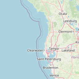
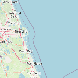
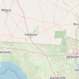
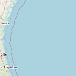
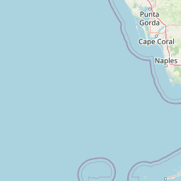
Distance Map Between Palm Coast and Cape Coral
Palm Coast, Tallahassee, United States ↔ Cape Coral, Tallahassee, United States = 214 miles = 344 km.


How far is it between Palm Coast and Cape Coral
Palm Coast is located in United States with (29.585,-81.2078) coordinates and Cape Coral is located in United States with (26.5629,-81.9495) coordinates. The calculated flying distance from Palm Coast to Cape Coral is equal to 214 miles which is equal to 344 km.
If you want to go by car, the driving distance between Palm Coast and Cape Coral is 457.24 km. If you ride your car with an average speed of 112 kilometers/hour (70 miles/h), travel time will be 04 hours 04 minutes. Please check the avg. speed travel time table on the right for various options.
Difference between fly and go by a car is 113 km.
| City/Place | Latitude and Longitude | GPS Coordinates |
|---|---|---|
| Palm Coast | 29.585, -81.2078 | 29° 35´ 5.8920'' N 81° 12´ 28.2240'' W |
| Cape Coral | 26.5629, -81.9495 | 26° 33´ 46.2600'' N 81° 56´ 58.3080'' W |
Estimated Travel Time Between Palm Coast and Cape Coral
| Average Speed | Travel Time |
|---|---|
| 30 mph (48 km/h) | 09 hours 31 minutes |
| 40 mph (64 km/h) | 07 hours 08 minutes |
| 50 mph (80 km/h) | 05 hours 42 minutes |
| 60 mph (97 km/h) | 04 hours 42 minutes |
| 70 mph (112 km/h) | 04 hours 04 minutes |
| 75 mph (120 km/h) | 03 hours 48 minutes |
Related Distances from Palm Coast
| Cities | Distance |
|---|---|
| Palm Coast to Jupiter | 339 km |
| Palm Coast to Daytona Beach | 59 km |
| Palm Coast to Ormond Beach | 41 km |
| Palm Coast to Miami | 460 km |
| Palm Coast to Ocala | 134 km |
Related Distances to Cape Coral
| Cities | Distance |
|---|---|
| Fort Myers to Cape Coral | 19 km |
| Orlando to Cape Coral | 327 km |
| Naples to Cape Coral | 69 km |
| Tampa to Cape Coral | 212 km |
| Sarasota to Cape Coral | 132 km |