Distance from Palmdale to La Mesa
Distance between Palmdale and La Mesa is 225 kilometers (140 miles).
Driving distance from Palmdale to La Mesa is 275 kilometers (171 miles).
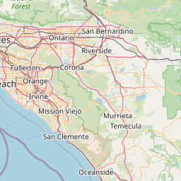
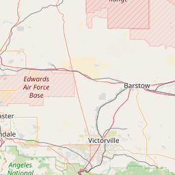
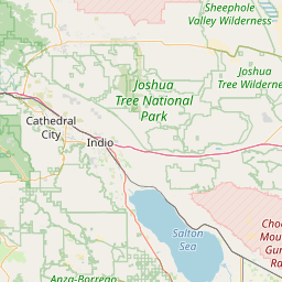
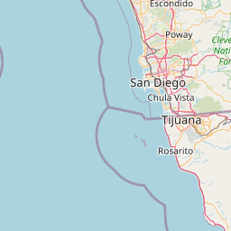
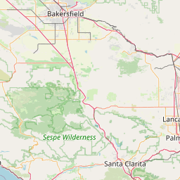
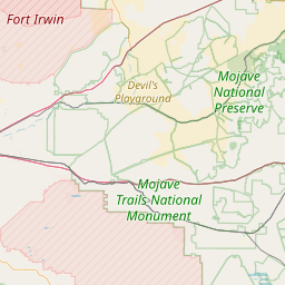
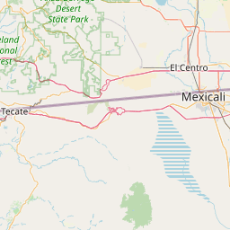
Distance Map Between Palmdale and La Mesa
Palmdale, Sacramento, United States ↔ La Mesa, Sacramento, United States = 140 miles = 225 km.


How far is it between Palmdale and La Mesa
Palmdale is located in United States with (34.5794,-118.1165) coordinates and La Mesa is located in United States with (32.7678,-117.0231) coordinates. The calculated flying distance from Palmdale to La Mesa is equal to 140 miles which is equal to 225 km.
If you want to go by car, the driving distance between Palmdale and La Mesa is 275.47 km. If you ride your car with an average speed of 112 kilometers/hour (70 miles/h), travel time will be 02 hours 27 minutes. Please check the avg. speed travel time table on the right for various options.
Difference between fly and go by a car is 50 km.
| City/Place | Latitude and Longitude | GPS Coordinates |
|---|---|---|
| Palmdale | 34.5794, -118.1165 | 34° 34´ 45.9480'' N 118° 6´ 59.2560'' W |
| La Mesa | 32.7678, -117.0231 | 32° 46´ 4.1880'' N 117° 1´ 23.0880'' W |
Estimated Travel Time Between Palmdale and La Mesa
| Average Speed | Travel Time |
|---|---|
| 30 mph (48 km/h) | 05 hours 44 minutes |
| 40 mph (64 km/h) | 04 hours 18 minutes |
| 50 mph (80 km/h) | 03 hours 26 minutes |
| 60 mph (97 km/h) | 02 hours 50 minutes |
| 70 mph (112 km/h) | 02 hours 27 minutes |
| 75 mph (120 km/h) | 02 hours 17 minutes |
Related Distances from Palmdale
| Cities | Distance |
|---|---|
| Palmdale to Adelanto | 69 km |
| Palmdale to Agoura | 106 km |
| Palmdale to Agoura Hills | 110 km |
| Palmdale to Alameda | 574 km |
| Palmdale to Albany 5 | 589 km |
| Palmdale to Alhambra | 109 km |
| Palmdale to Aliso Viejo | 188 km |
| Palmdale to Altadena | 102 km |
| Palmdale to Alum Rock | 529 km |
| Palmdale to American Canyon | 610 km |
Related Distances to La Mesa
| Cities | Distance |
|---|---|
| Lancaster to La Mesa | 291 km |
| West Covina to La Mesa | 202 km |
| Oceanside to La Mesa | 66 km |
| Vallejo to La Mesa | 815 km |
| Modesto to La Mesa | 700 km |
| Valencia 3 to La Mesa | 257 km |
| San Jose to La Mesa | 746 km |
| Oakland to La Mesa | 798 km |
| Santa Ana to La Mesa | 148 km |
| Santa Clarita to La Mesa | 251 km |