Distance from Palo Alto to Berkeley
Distance between Palo Alto and Berkeley is 49 kilometers (31 miles).
Driving distance from Palo Alto to Berkeley is 69 kilometers (43 miles).
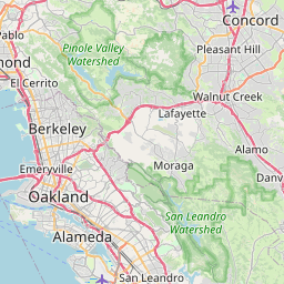
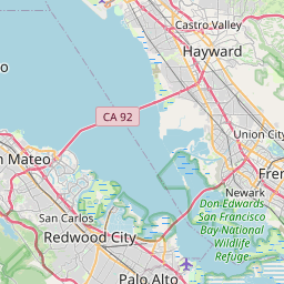
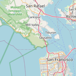
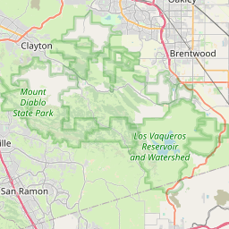
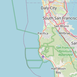
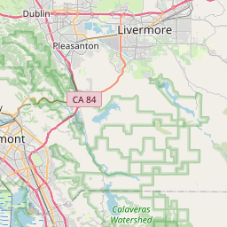
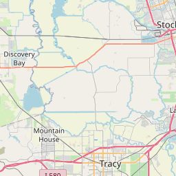
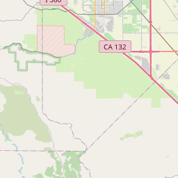
Distance Map Between Palo Alto and Berkeley
Palo Alto, Sacramento, United States ↔ Berkeley, Sacramento, United States = 31 miles = 49 km.

How far is it between Palo Alto and Berkeley
Palo Alto is located in United States with (37.4419,-122.143) coordinates and Berkeley is located in United States with (37.8716,-122.2728) coordinates. The calculated flying distance from Palo Alto to Berkeley is equal to 31 miles which is equal to 49 km.
If you want to go by car, the driving distance between Palo Alto and Berkeley is 68.66 km. If you ride your car with an average speed of 112 kilometers/hour (70 miles/h), travel time will be 00 hours 36 minutes. Please check the avg. speed travel time table on the right for various options.
Difference between fly and go by a car is 20 km.
| City/Place | Latitude and Longitude | GPS Coordinates |
|---|---|---|
| Palo Alto | 37.4419, -122.143 | 37° 26´ 30.7680'' N 122° 8´ 34.8720'' W |
| Berkeley | 37.8716, -122.2728 | 37° 52´ 17.7240'' N 122° 16´ 21.9000'' W |
Estimated Travel Time Between Palo Alto and Berkeley
| Average Speed | Travel Time |
|---|---|
| 30 mph (48 km/h) | 01 hours 25 minutes |
| 40 mph (64 km/h) | 01 hours 04 minutes |
| 50 mph (80 km/h) | 00 hours 51 minutes |
| 60 mph (97 km/h) | 00 hours 42 minutes |
| 70 mph (112 km/h) | 00 hours 36 minutes |
| 75 mph (120 km/h) | 00 hours 34 minutes |
Related Distances from Palo Alto
| Cities | Distance |
|---|---|
| Palo Alto to Daly City | 49 km |
| Palo Alto to Los Angeles | 575 km |
| Palo Alto to Berkeley | 69 km |
| Palo Alto to Fremont | 29 km |
| Palo Alto to Oakland | 56 km |
Related Distances to Berkeley
| Cities | Distance |
|---|---|
| San Francisco to Berkeley | 22 km |
| San Jose to Berkeley | 79 km |
| Napa to Berkeley | 61 km |
| Oakland to Berkeley | 8 km |
| Los Angeles to Berkeley | 603 km |