Distance from Pandua to Nanchong
Distance between Pandua and Nanchong is 1959 kilometers (1217 miles).
Distance Map Between Pandua and Nanchong
Pandua, Kolkata, India ↔ Nanchong, Chengdu, China = 1217 miles = 1959 km.


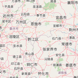

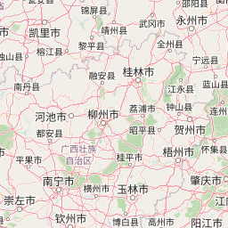

Leaflet | © OpenStreetMap
How far is it between Pandua and Nanchong
Pandua is located in India with (23.0749,88.2864) coordinates and Nanchong is located in China with (30.7951,106.0847) coordinates. The calculated flying distance from Pandua to Nanchong is equal to 1217 miles which is equal to 1959 km.
| City/Place | Latitude and Longitude | GPS Coordinates |
|---|---|---|
| Pandua | 23.0749, 88.2864 | 23° 4´ 29.7120'' N 88° 17´ 10.9320'' E |
| Nanchong | 30.7951, 106.0847 | 30° 47´ 42.2880'' N 106° 5´ 5.0280'' E |
Pandua, Kolkata, India
Related Distances from Pandua
| Cities | Distance |
|---|---|
| Pandua to Tarakeswar | 49 km |
| Pandua to Raiganj | 353 km |
| Pandua to Shrirampur | 44 km |
| Pandua to Shyamnagar | 37 km |
| Pandua to Ranaghat | 64 km |
Nanchong, Chengdu, China
Related Distances to Nanchong
| Cities | Distance |
|---|---|
| Naharlagun to Nanchong | 2677 km |
| Bhagalpur to Nanchong | 3545 km |
| Makum to Nanchong | 2429 km |