Distance from Pangil to Taguig
Distance between Pangil and Taguig is 44 kilometers (27 miles).
Driving distance from Pangil to Taguig is 69 kilometers (43 miles).
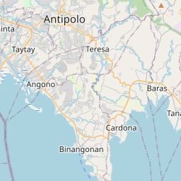
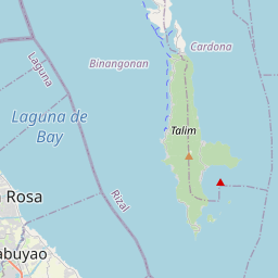
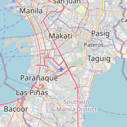
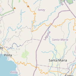
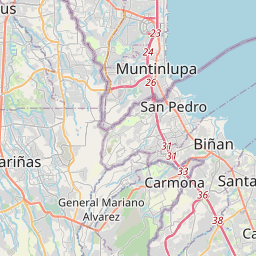
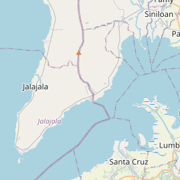
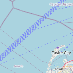
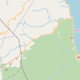
Distance Map Between Pangil and Taguig
Pangil, Calamba, Philippines ↔ Taguig, Calamba, Philippines = 27 miles = 44 km.

How far is it between Pangil and Taguig
Pangil is located in Philippines with (14.4008,121.4685) coordinates and Taguig is located in Philippines with (14.5243,121.0792) coordinates. The calculated flying distance from Pangil to Taguig is equal to 27 miles which is equal to 44 km.
If you want to go by car, the driving distance between Pangil and Taguig is 69.18 km. If you ride your car with an average speed of 112 kilometers/hour (70 miles/h), travel time will be 00 hours 37 minutes. Please check the avg. speed travel time table on the right for various options.
Difference between fly and go by a car is 25 km.
| City/Place | Latitude and Longitude | GPS Coordinates |
|---|---|---|
| Pangil | 14.4008, 121.4685 | 14° 24´ 2.8800'' N 121° 28´ 6.6000'' E |
| Taguig | 14.5243, 121.0792 | 14° 31´ 27.4800'' N 121° 4´ 45.1200'' E |
Estimated Travel Time Between Pangil and Taguig
| Average Speed | Travel Time |
|---|---|
| 30 mph (48 km/h) | 01 hours 26 minutes |
| 40 mph (64 km/h) | 01 hours 04 minutes |
| 50 mph (80 km/h) | 00 hours 51 minutes |
| 60 mph (97 km/h) | 00 hours 42 minutes |
| 70 mph (112 km/h) | 00 hours 37 minutes |
| 75 mph (120 km/h) | 00 hours 34 minutes |
Related Distances from Pangil
| Cities | Distance |
|---|---|
| Pangil to San Pablo | 51 km |
| Pangil to Sariaya | 69 km |
| Pangil to Pila 2 | 29 km |
| Pangil to Taguig | 69 km |
| Pangil to San Pedro | 89 km |
Related Distances to Taguig
| Cities | Distance |
|---|---|
| Cavite City to Taguig | 44 km |
| Antipolo to Taguig | 15 km |
| Batangas to Taguig | 102 km |
| Cainta to Taguig | 12 km |
| Bacoor to Taguig | 26 km |