Distance from Panna to Rewa
Distance between Panna and Rewa is 114 kilometers (71 miles).
Driving distance from Panna to Rewa is 124 kilometers (77 miles).
Distance Map Between Panna and Rewa
Panna, Bhopal, India ↔ Rewa, Bhopal, India = 71 miles = 114 km.


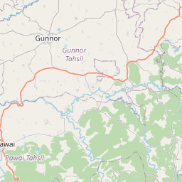


Leaflet | © OpenStreetMap
How far is it between Panna and Rewa
Panna is located in India with (24.7215,80.1881) coordinates and Rewa is located in India with (24.534,81.296) coordinates. The calculated flying distance from Panna to Rewa is equal to 71 miles which is equal to 114 km.
If you want to go by car, the driving distance between Panna and Rewa is 123.75 km. If you ride your car with an average speed of 112 kilometers/hour (70 miles/h), travel time will be 01 hours 06 minutes. Please check the avg. speed travel time table on the right for various options.
Difference between fly and go by a car is 10 km.
| City/Place | Latitude and Longitude | GPS Coordinates |
|---|---|---|
| Panna | 24.7215, 80.1881 | 24° 43´ 17.2920'' N 80° 11´ 17.1240'' E |
| Rewa | 24.534, 81.296 | 24° 32´ 2.3640'' N 81° 17´ 45.4560'' E |
Estimated Travel Time Between Panna and Rewa
| Average Speed | Travel Time |
|---|---|
| 30 mph (48 km/h) | 02 hours 34 minutes |
| 40 mph (64 km/h) | 01 hours 56 minutes |
| 50 mph (80 km/h) | 01 hours 32 minutes |
| 60 mph (97 km/h) | 01 hours 16 minutes |
| 70 mph (112 km/h) | 01 hours 06 minutes |
| 75 mph (120 km/h) | 01 hours 01 minutes |
Panna, Bhopal, India
Related Distances from Panna
| Cities | Distance |
|---|---|
| Panna to Satna | 72 km |
| Panna to Sagar | 232 km |
| Panna to Rewa | 124 km |
| Panna to Sidhi | 209 km |
| Panna to Shahdol | 255 km |
Rewa, Bhopal, India
Related Distances to Rewa
| Cities | Distance |
|---|---|
| Amarpatan to Rewa | 44 km |
| Mauganj to Rewa | 66 km |
| Dharuhera to Rewari | 18 km |
| Firozpur Jhirka to Rewari | 70 km |
| Gurgaon to Rewari | 56 km |