Distance from Pare to Prigen
Distance between Pare and Prigen is 47 kilometers (29 miles).
Driving distance from Pare to Prigen is 85 kilometers (53 miles).
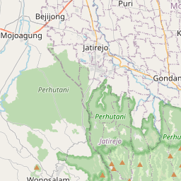
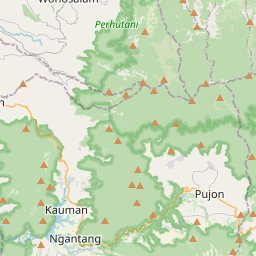
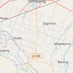
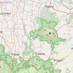
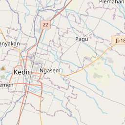
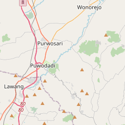
Distance Map Between Pare and Prigen
Pare, Surabaya, Indonesia ↔ Prigen, Surabaya, Indonesia = 29 miles = 47 km.
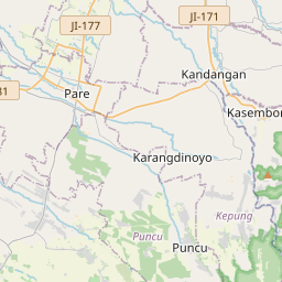

How far is it between Pare and Prigen
Pare is located in Indonesia with (-7.7679,112.198) coordinates and Prigen is located in Indonesia with (-7.6833,112.6167) coordinates. The calculated flying distance from Pare to Prigen is equal to 29 miles which is equal to 47 km.
If you want to go by car, the driving distance between Pare and Prigen is 85.13 km. If you ride your car with an average speed of 112 kilometers/hour (70 miles/h), travel time will be 00 hours 45 minutes. Please check the avg. speed travel time table on the right for various options.
Difference between fly and go by a car is 38 km.
| City/Place | Latitude and Longitude | GPS Coordinates |
|---|---|---|
| Pare | -7.7679, 112.198 | 7° 46´ 4.4400'' S 112° 11´ 52.8000'' E |
| Prigen | -7.6833, 112.6167 | 7° 40´ 59.9880'' S 112° 37´ 0.0120'' E |
Estimated Travel Time Between Pare and Prigen
| Average Speed | Travel Time |
|---|---|
| 30 mph (48 km/h) | 01 hours 46 minutes |
| 40 mph (64 km/h) | 01 hours 19 minutes |
| 50 mph (80 km/h) | 01 hours 03 minutes |
| 60 mph (97 km/h) | 00 hours 52 minutes |
| 70 mph (112 km/h) | 00 hours 45 minutes |
| 75 mph (120 km/h) | 00 hours 42 minutes |
Related Distances from Pare
| Cities | Distance |
|---|---|
| Pare to Probolinggo | 149 km |
| Pare to Tuban | 111 km |
| Pare to Tulungagung | 55 km |
| Pare to Soko | 50 km |
| Pare to Situbondo | 246 km |
Related Distances to Prigen
| Cities | Distance |
|---|---|
| Batu to Prigen | 47 km |
| Mojokerto to Prigen | 46 km |
| Kertosono to Prigen | 80 km |
| Jombang to Prigen | 66 km |
| Madiun to Prigen | 150 km |