Distance from Pasco to Burien
Distance between Pasco and Burien is 282 kilometers (175 miles).
Driving distance from Pasco to Burien is 375 kilometers (233 miles).
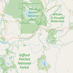
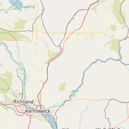
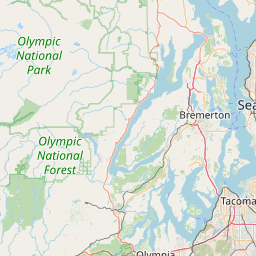
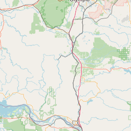
Distance Map Between Pasco and Burien
Pasco, Olympia, United States ↔ Burien, Olympia, United States = 175 miles = 282 km.

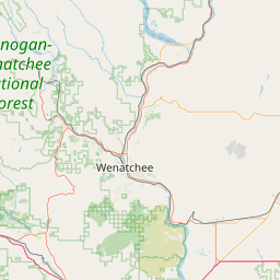
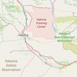
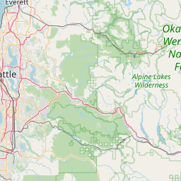
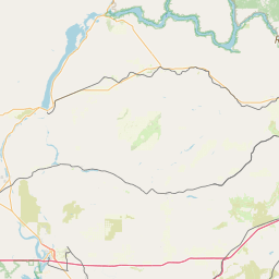

How far is it between Pasco and Burien
Pasco is located in United States with (46.2396,-119.1006) coordinates and Burien is located in United States with (47.4704,-122.3468) coordinates. The calculated flying distance from Pasco to Burien is equal to 175 miles which is equal to 282 km.
If you want to go by car, the driving distance between Pasco and Burien is 374.97 km. If you ride your car with an average speed of 112 kilometers/hour (70 miles/h), travel time will be 03 hours 20 minutes. Please check the avg. speed travel time table on the right for various options.
Difference between fly and go by a car is 93 km.
| City/Place | Latitude and Longitude | GPS Coordinates |
|---|---|---|
| Pasco | 46.2396, -119.1006 | 46° 14´ 22.4880'' N 119° 6´ 2.0520'' W |
| Burien | 47.4704, -122.3468 | 47° 28´ 13.3680'' N 122° 20´ 48.4440'' W |
Estimated Travel Time Between Pasco and Burien
| Average Speed | Travel Time |
|---|---|
| 30 mph (48 km/h) | 07 hours 48 minutes |
| 40 mph (64 km/h) | 05 hours 51 minutes |
| 50 mph (80 km/h) | 04 hours 41 minutes |
| 60 mph (97 km/h) | 03 hours 51 minutes |
| 70 mph (112 km/h) | 03 hours 20 minutes |
| 75 mph (120 km/h) | 03 hours 07 minutes |
Related Distances from Pasco
| Cities | Distance |
|---|---|
| Pasco to Moses Lake | 115 km |
| Pasco to Ellensburg | 193 km |
| Pasco to Kennewick | 6 km |
| Pasco to Federal Way | 375 km |
| Pasco to Kent | 361 km |
Related Distances to Burien
| Cities | Distance |
|---|---|
| Seattle to Burien | 17 km |
| Issaquah to Burien | 38 km |
| Tacoma to Burien | 43 km |
| Des Moines 2 to Burien | 9 km |
| Maple Valley to Burien | 31 km |