Distance from Pasto to Manaus
Distance between Pasto and Manaus is 1977 kilometers (1229 miles).
Driving distance from Pasto to Manaus is 4256 kilometers (2645 miles).
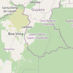
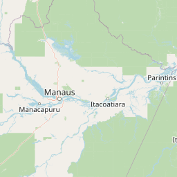
Distance Map Between Pasto and Manaus
Pasto, Colombia ↔ Manaus, Brazil = 1229 miles = 1977 km.


How far is it between Pasto and Manaus
Pasto is located in Colombia with (1.2136,-77.2811) coordinates and Manaus is located in Brazil with (-3.1019,-60.025) coordinates. The calculated flying distance from Pasto to Manaus is equal to 1229 miles which is equal to 1977 km.
If you want to go by car, the driving distance between Pasto and Manaus is 4256.16 km. If you ride your car with an average speed of 112 kilometers/hour (70 miles/h), travel time will be 38 hours 00 minutes. Please check the avg. speed travel time table on the right for various options.
Difference between fly and go by a car is 2279 km.
| City/Place | Latitude and Longitude | GPS Coordinates |
|---|---|---|
| Pasto | 1.2136, -77.2811 | 1° 12´ 48.9960'' N 77° 16´ 51.9960'' W |
| Manaus | -3.1019, -60.025 | 3° 6´ 6.9840'' S 60° 1´ 30.0000'' W |
Estimated Travel Time Between Pasto and Manaus
| Average Speed | Travel Time |
|---|---|
| 30 mph (48 km/h) | 88 hours 40 minutes |
| 40 mph (64 km/h) | 66 hours 30 minutes |
| 50 mph (80 km/h) | 53 hours 12 minutes |
| 60 mph (97 km/h) | 43 hours 52 minutes |
| 70 mph (112 km/h) | 38 hours 00 minutes |
| 75 mph (120 km/h) | 35 hours 28 minutes |
Related Distances from Pasto
| Cities | Distance |
|---|---|
| Pasto to Rio Branco | 4305 km |
| Pasto to Guajara Mirim | 4682 km |
| Pasto to Manaus | 4256 km |
| Pasto to Porto Velho | 4745 km |
| Pasto to Aripuana | 5252 km |
Related Distances to Manaus
| Cities | Distance |
|---|---|
| Bogota to Manaus | 3310 km |
| Medellin to Manaus | 3480 km |
| Cartagena to Manaus | 3457 km |
| Barranquilla to Manaus | 3301 km |
| Cucuta to Manaus | 2905 km |