Distance from Peabody to Everett
Distance between Peabody and Everett is 17 kilometers (10 miles).
Driving distance from Peabody to Everett is 24 kilometers (15 miles).
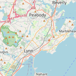
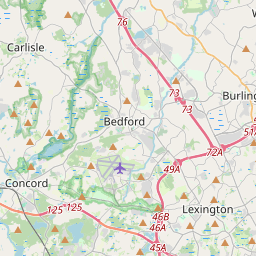
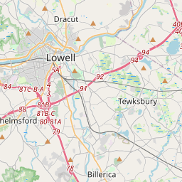
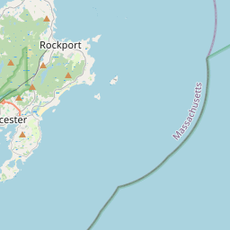
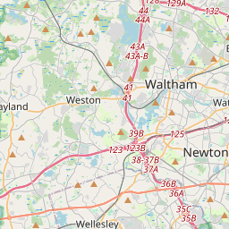
Distance Map Between Peabody and Everett
Peabody, Boston, United States ↔ Everett, Boston, United States = 10 miles = 17 km.
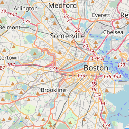


How far is it between Peabody and Everett
Peabody is located in United States with (42.5279,-70.9287) coordinates and Everett is located in United States with (42.4084,-71.0537) coordinates. The calculated flying distance from Peabody to Everett is equal to 10 miles which is equal to 17 km.
If you want to go by car, the driving distance between Peabody and Everett is 23.99 km. If you ride your car with an average speed of 112 kilometers/hour (70 miles/h), travel time will be 00 hours 12 minutes. Please check the avg. speed travel time table on the right for various options.
Difference between fly and go by a car is 7 km.
| City/Place | Latitude and Longitude | GPS Coordinates |
|---|---|---|
| Peabody | 42.5279, -70.9287 | 42° 31´ 40.3320'' N 70° 55´ 43.1760'' W |
| Everett | 42.4084, -71.0537 | 42° 24´ 30.3480'' N 71° 3´ 13.1760'' W |
Estimated Travel Time Between Peabody and Everett
| Average Speed | Travel Time |
|---|---|
| 30 mph (48 km/h) | 00 hours 29 minutes |
| 40 mph (64 km/h) | 00 hours 22 minutes |
| 50 mph (80 km/h) | 00 hours 17 minutes |
| 60 mph (97 km/h) | 00 hours 14 minutes |
| 70 mph (112 km/h) | 00 hours 12 minutes |
| 75 mph (120 km/h) | 00 hours 11 minutes |
Related Distances from Peabody
| Cities | Distance |
|---|---|
| Peabody to Burlington 5 | 27 km |
| Peabody to Gloucester 2 | 31 km |
| Peabody to Chelsea 2 | 25 km |
| Peabody to Newton | 52 km |
| Peabody to Natick | 63 km |
Related Distances to Everett
| Cities | Distance |
|---|---|
| South Boston to Everett 2 | 11 km |
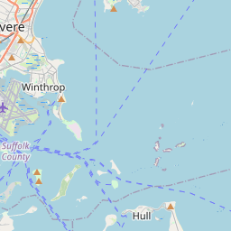
| Winthrop to Everett 2 | 10 km |
| Wakefield 2 to Everett 2 | 16 km |
| Lowell to Everett 2 | 46 km |
| Leominster to Everett 2 | 83 km |