Distance from Pearland to Alice
Distance between Pearland and Alice is 338 kilometers (210 miles).
Driving distance from Pearland to Alice is 389 kilometers (242 miles).
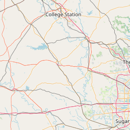
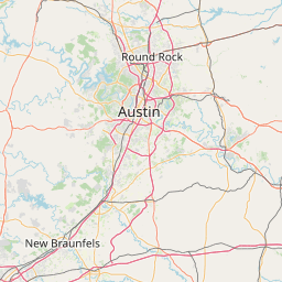
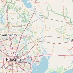
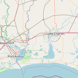
Distance Map Between Pearland and Alice
Pearland, Austin, United States ↔ Alice, Austin, United States = 210 miles = 338 km.


How far is it between Pearland and Alice
Pearland is located in United States with (29.5636,-95.2861) coordinates and Alice is located in United States with (27.7523,-98.0697) coordinates. The calculated flying distance from Pearland to Alice is equal to 210 miles which is equal to 338 km.
If you want to go by car, the driving distance between Pearland and Alice is 389.31 km. If you ride your car with an average speed of 112 kilometers/hour (70 miles/h), travel time will be 03 hours 28 minutes. Please check the avg. speed travel time table on the right for various options.
Difference between fly and go by a car is 51 km.
| City/Place | Latitude and Longitude | GPS Coordinates |
|---|---|---|
| Pearland | 29.5636, -95.2861 | 29° 33´ 48.8520'' N 95° 17´ 9.7800'' W |
| Alice | 27.7523, -98.0697 | 27° 45´ 8.1000'' N 98° 4´ 10.9920'' W |
Estimated Travel Time Between Pearland and Alice
| Average Speed | Travel Time |
|---|---|
| 30 mph (48 km/h) | 08 hours 06 minutes |
| 40 mph (64 km/h) | 06 hours 04 minutes |
| 50 mph (80 km/h) | 04 hours 51 minutes |
| 60 mph (97 km/h) | 04 hours 00 minutes |
| 70 mph (112 km/h) | 03 hours 28 minutes |
| 75 mph (120 km/h) | 03 hours 14 minutes |
Related Distances from Pearland
| Cities | Distance |
|---|---|
| Pearland to Galveston | 67 km |
| Pearland to Houston | 35 km |
| Pearland to League City | 29 km |
| Pearland to La Porte | 42 km |
| Pearland to Lake Jackson | 72 km |
Related Distances to Alice
| Cities | Distance |
|---|---|
| Kingsville to Alice | 48 km |
| Corpus Christi to Alice | 72 km |
| Laredo to Alice | 158 km |
| Eagle Pass to Alice | 291 km |
| Canyon Lake to Alice | 269 km |