Distance from Pelotas to Zapala
Distance between Pelotas and Zapala is 1787 kilometers (1110 miles).
Driving distance from Pelotas to Zapala is 2133 kilometers (1325 miles).
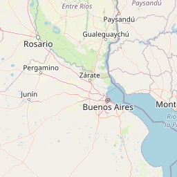
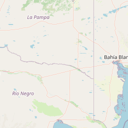
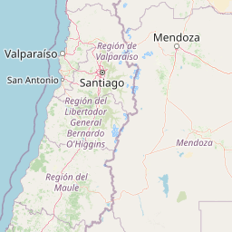
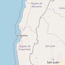
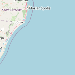
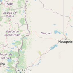
Distance Map Between Pelotas and Zapala
Pelotas, Porto Alegre, Brazil ↔ Zapala, Neuquen, Argentina = 1110 miles = 1787 km.


How far is it between Pelotas and Zapala
Pelotas is located in Brazil with (-31.7719,-52.3425) coordinates and Zapala is located in Argentina with (-38.8992,-70.0544) coordinates. The calculated flying distance from Pelotas to Zapala is equal to 1110 miles which is equal to 1787 km.
If you want to go by car, the driving distance between Pelotas and Zapala is 2133.09 km. If you ride your car with an average speed of 112 kilometers/hour (70 miles/h), travel time will be 19 hours 02 minutes. Please check the avg. speed travel time table on the right for various options.
Difference between fly and go by a car is 346 km.
| City/Place | Latitude and Longitude | GPS Coordinates |
|---|---|---|
| Pelotas | -31.7719, -52.3425 | 31° 46´ 18.9840'' S 52° 20´ 33.0000'' W |
| Zapala | -38.8992, -70.0544 | 38° 53´ 56.9760'' S 70° 3´ 15.9120'' W |
Estimated Travel Time Between Pelotas and Zapala
| Average Speed | Travel Time |
|---|---|
| 30 mph (48 km/h) | 44 hours 26 minutes |
| 40 mph (64 km/h) | 33 hours 19 minutes |
| 50 mph (80 km/h) | 26 hours 39 minutes |
| 60 mph (97 km/h) | 21 hours 59 minutes |
| 70 mph (112 km/h) | 19 hours 02 minutes |
| 75 mph (120 km/h) | 17 hours 46 minutes |
Related Distances from Pelotas
| Cities | Distance |
|---|---|
| Pelotas to Zapala | 2133 km |
| Pelotas to Rawson | 2183 km |
| Pelotas to Mendoza | 1917 km |
| Pelotas to San Martin De Los Andes | 2377 km |
| Pelotas to Neuquen | 1954 km |
Related Distances to Zapala
| Cities | Distance |
|---|---|
| Pelotas to Zapala | 2133 km |
| Porto Alegre to Zapala | 2556 km |
| Santa Maria to Zapala | 2390 km |
| Caxias Do Sul to Zapala | 2708 km |
| Viamao to Zapala | 2588 km |