Distance from Pensacola to Holiday
Distance between Pensacola and Holiday is 500 kilometers (311 miles).
Driving distance from Pensacola to Holiday is 674 kilometers (419 miles).
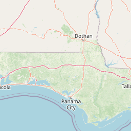
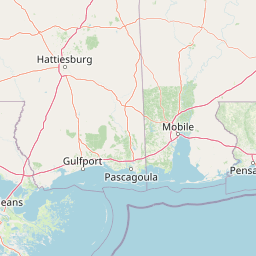
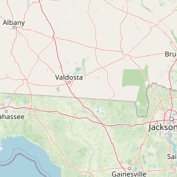
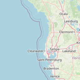
Distance Map Between Pensacola and Holiday
Pensacola, Tallahassee, United States ↔ Holiday, Tallahassee, United States = 311 miles = 500 km.


How far is it between Pensacola and Holiday
Pensacola is located in United States with (30.4213,-87.2169) coordinates and Holiday is located in United States with (28.1878,-82.7396) coordinates. The calculated flying distance from Pensacola to Holiday is equal to 311 miles which is equal to 500 km.
If you want to go by car, the driving distance between Pensacola and Holiday is 674 km. If you ride your car with an average speed of 112 kilometers/hour (70 miles/h), travel time will be 06 hours 01 minutes. Please check the avg. speed travel time table on the right for various options.
Difference between fly and go by a car is 174 km.
| City/Place | Latitude and Longitude | GPS Coordinates |
|---|---|---|
| Pensacola | 30.4213, -87.2169 | 30° 25´ 16.7160'' N 87° 13´ 0.8760'' W |
| Holiday | 28.1878, -82.7396 | 28° 11´ 16.0440'' N 82° 44´ 22.3800'' W |
Estimated Travel Time Between Pensacola and Holiday
| Average Speed | Travel Time |
|---|---|
| 30 mph (48 km/h) | 14 hours 02 minutes |
| 40 mph (64 km/h) | 10 hours 31 minutes |
| 50 mph (80 km/h) | 08 hours 25 minutes |
| 60 mph (97 km/h) | 06 hours 56 minutes |
| 70 mph (112 km/h) | 06 hours 01 minutes |
| 75 mph (120 km/h) | 05 hours 37 minutes |
Related Distances from Pensacola
| Cities | Distance |
|---|---|
| Pensacola to Panama City | 224 km |
| Pensacola to Miami | 1083 km |
| Pensacola to Orlando | 724 km |
| Pensacola to Fort Walton Beach | 65 km |
| Pensacola to Key West | 1339 km |
Related Distances to Holiday
| Cities | Distance |
|---|---|
| Tampa to Holiday | 53 km |
| Spring Hill to Holiday | 45 km |
| Wesley Chapel to Holiday | 49 km |
| Palm Harbor to Holiday | 15 km |
| Largo to Holiday | 37 km |