Distance from Peoria to East Moline
Distance between Peoria and East Moline is 115 kilometers (71 miles).
Driving distance from Peoria to East Moline is 145 kilometers (90 miles).
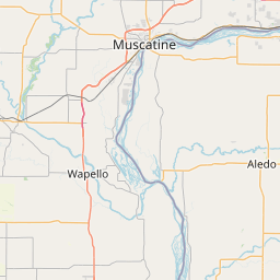
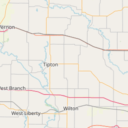
Distance Map Between Peoria and East Moline
Peoria, Springfield, United States ↔ East Moline, Springfield, United States = 71 miles = 115 km.


How far is it between Peoria and East Moline
Peoria is located in United States with (40.6937,-89.589) coordinates and East Moline is located in United States with (41.5009,-90.4443) coordinates. The calculated flying distance from Peoria to East Moline is equal to 71 miles which is equal to 115 km.
If you want to go by car, the driving distance between Peoria and East Moline is 144.75 km. If you ride your car with an average speed of 112 kilometers/hour (70 miles/h), travel time will be 01 hours 17 minutes. Please check the avg. speed travel time table on the right for various options.
Difference between fly and go by a car is 30 km.
| City/Place | Latitude and Longitude | GPS Coordinates |
|---|---|---|
| Peoria | 40.6937, -89.589 | 40° 41´ 37.1400'' N 89° 35´ 20.3640'' W |
| East Moline | 41.5009, -90.4443 | 41° 30´ 3.1320'' N 90° 26´ 39.4800'' W |
Estimated Travel Time Between Peoria and East Moline
| Average Speed | Travel Time |
|---|---|
| 30 mph (48 km/h) | 03 hours 00 minutes |
| 40 mph (64 km/h) | 02 hours 15 minutes |
| 50 mph (80 km/h) | 01 hours 48 minutes |
| 60 mph (97 km/h) | 01 hours 29 minutes |
| 70 mph (112 km/h) | 01 hours 17 minutes |
| 75 mph (120 km/h) | 01 hours 12 minutes |
Related Distances from Peoria
| Cities | Distance |
|---|---|
| Peoria 2 to Chicago | 265 km |
| Peoria 2 to Normal | 62 km |
| Peoria 2 to Kankakee | 194 km |
| Peoria 2 to Bloomington 3 | 64 km |
| Peoria 2 to Aurora 2 | 189 km |
Related Distances to East Moline
| Cities | Distance |
|---|---|
| Rock Island to East Moline | 14 km |
| Normal to East Moline | 205 km |
| Lombard to East Moline | 235 km |
| Elk Grove Village to East Moline | 251 km |
| Peoria 2 to East Moline | 145 km |