Distance from Percut to Stabat
Distance between Percut and Stabat is 48 kilometers (30 miles).
Driving distance from Percut to Stabat is 82 kilometers (51 miles).
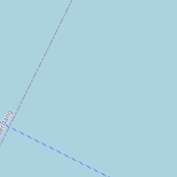
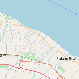
Distance Map Between Percut and Stabat
Percut, Medan, Indonesia ↔ Stabat, Medan, Indonesia = 30 miles = 48 km.


How far is it between Percut and Stabat
Percut is located in Indonesia with (3.6253,98.864) coordinates and Stabat is located in Indonesia with (3.761,98.4513) coordinates. The calculated flying distance from Percut to Stabat is equal to 30 miles which is equal to 48 km.
If you want to go by car, the driving distance between Percut and Stabat is 82.05 km. If you ride your car with an average speed of 112 kilometers/hour (70 miles/h), travel time will be 00 hours 43 minutes. Please check the avg. speed travel time table on the right for various options.
Difference between fly and go by a car is 34 km.
| City/Place | Latitude and Longitude | GPS Coordinates |
|---|---|---|
| Percut | 3.6253, 98.864 | 3° 37´ 31.0800'' N 98° 51´ 50.4000'' E |
| Stabat | 3.761, 98.4513 | 3° 45´ 39.6000'' N 98° 27´ 4.6800'' E |
Estimated Travel Time Between Percut and Stabat
| Average Speed | Travel Time |
|---|---|
| 30 mph (48 km/h) | 01 hours 42 minutes |
| 40 mph (64 km/h) | 01 hours 16 minutes |
| 50 mph (80 km/h) | 01 hours 01 minutes |
| 60 mph (97 km/h) | 00 hours 50 minutes |
| 70 mph (112 km/h) | 00 hours 43 minutes |
| 75 mph (120 km/h) | 00 hours 41 minutes |
Related Distances from Percut
| Cities | Distance |
|---|---|
| Percut to Sunggal | 44 km |
| Percut to Stabat | 82 km |
| Percut to Teluk Nibung | 179 km |
| Percut to Rantauprapat | 278 km |
| Percut to Sibolga | 335 km |
Related Distances to Stabat
| Cities | Distance |
|---|---|
| Belawan to Stabat | 40 km |
| Binjai to Stabat | 24 km |
| Kabanjahe to Stabat | 108 km |
| Deli Tua to Stabat | 52 km |
| Sibolga to Stabat | 340 km |