Distance from Perm to Rudnyy
Distance between Perm and Rudnyy is 707 kilometers (439 miles).
Driving distance from Perm to Rudnyy is 906 kilometers (563 miles).
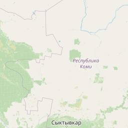
Distance Map Between Perm and Rudnyy
Perm, Russia ↔ Rudnyy, Kostanay, Kazakhstan = 439 miles = 707 km.


How far is it between Perm and Rudnyy
Perm is located in Russia with (58.0105,56.2502) coordinates and Rudnyy is located in Kazakhstan with (52.9729,63.1168) coordinates. The calculated flying distance from Perm to Rudnyy is equal to 439 miles which is equal to 707 km.
If you want to go by car, the driving distance between Perm and Rudnyy is 905.63 km. If you ride your car with an average speed of 112 kilometers/hour (70 miles/h), travel time will be 08 hours 05 minutes. Please check the avg. speed travel time table on the right for various options.
Difference between fly and go by a car is 199 km.
| City/Place | Latitude and Longitude | GPS Coordinates |
|---|---|---|
| Perm | 58.0105, 56.2502 | 58° 0´ 37.6560'' N 56° 15´ 0.6120'' E |
| Rudnyy | 52.9729, 63.1168 | 52° 58´ 22.4400'' N 63° 7´ 0.3720'' E |
Estimated Travel Time Between Perm and Rudnyy
| Average Speed | Travel Time |
|---|---|
| 30 mph (48 km/h) | 18 hours 52 minutes |
| 40 mph (64 km/h) | 14 hours 09 minutes |
| 50 mph (80 km/h) | 11 hours 19 minutes |
| 60 mph (97 km/h) | 09 hours 20 minutes |
| 70 mph (112 km/h) | 08 hours 05 minutes |
| 75 mph (120 km/h) | 07 hours 32 minutes |
Related Distances from Perm
| Cities | Distance |
|---|---|
| Perm to Astana | 1499 km |
| Perm to Kostanay | 902 km |
| Perm to Aktau | 2426 km |
| Perm to Oral | 1028 km |
| Perm to Petropavlovsk | 992 km |
Related Distances to Rudnyy
| Cities | Distance |
|---|---|
| Omsk to Rudnyy | 776 km |
| Surgut to Rudnyy | 1494 km |
| Rezh to Rudnyy | 622 km |
| Nar Yan Mar to Rudnyy | 2580 km |
| Volgograd to Rudnyy | 1917 km |