Distance from Peshawar to Ambah
Distance between Peshawar and Ambah is 1032 kilometers (641 miles).
Distance Map Between Peshawar and Ambah
Peshawar, Pakistan ↔ Ambah, Bhopal, India = 641 miles = 1032 km.


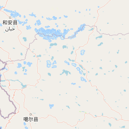


Leaflet | © OpenStreetMap
How far is it between Peshawar and Ambāh
Peshawar is located in Pakistan with (34.008,71.5785) coordinates and Ambah is located in India with (26.7053,78.2271) coordinates. The calculated flying distance from Peshawar to Ambah is equal to 641 miles which is equal to 1032 km.
| City/Place | Latitude and Longitude | GPS Coordinates |
|---|---|---|
| Peshawar | 34.008, 71.5785 | 34° 0´ 28.8000'' N 71° 34´ 42.5640'' E |
| Ambah | 26.7053, 78.2271 | 26° 42´ 19.1160'' N 78° 13´ 37.6320'' E |
Peshawar, Pakistan
Related Distances from Peshawar
| Cities | Distance |
|---|---|
| Peshawar to Delhi | 4818 km |
| Peshawar to Kolkata | 4536 km |
| Peshawar to Srinagar 2 | 4704 km |
| Peshawar to Patna | 4009 km |
| Peshawar to Jaipur | 4857 km |
Ambah, Bhopal, India
Related Distances to Ambah
| Cities | Distance |
|---|---|
| Alot to Ambah | 581 km |
| Agar to Ambah | 525 km |
| Singrauli to Ambah | 738 km |
| Pithampur to Ambah | 719 km |
| Mandideep to Ambah | 553 km |