Distance from Peshawar to Embi
Distance between Peshawar and Embi is 1986 kilometers (1234 miles).
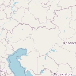
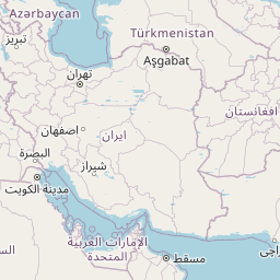
Distance Map Between Peshawar and Embi
Peshawar, Pakistan ↔ Embi, Aqtobe, Kazakhstan = 1234 miles = 1986 km.


Leaflet | © OpenStreetMap
How far is it between Peshawar and Embi
Peshawar is located in Pakistan with (34.008,71.5785) coordinates and Embi is located in Kazakhstan with (48.8298,58.1504) coordinates. The calculated flying distance from Peshawar to Embi is equal to 1234 miles which is equal to 1986 km.
| City/Place | Latitude and Longitude | GPS Coordinates |
|---|---|---|
| Peshawar | 34.008, 71.5785 | 34° 0´ 28.8000'' N 71° 34´ 42.5640'' E |
| Embi | 48.8298, 58.1504 | 48° 49´ 47.3160'' N 58° 9´ 1.5120'' E |
Peshawar, Pakistan
Related Distances from Peshawar
| Cities | Distance |
|---|---|
| Peshawar to Almaty | 2304 km |
| Peshawar to Merke | 1899 km |
| Peshawar to Aral 2 | 2453 km |
| Peshawar to Talghar | 2324 km |
| Peshawar to Baykonyr | 2216 km |
Embi, Aqtobe, Kazakhstan
Related Distances to Embi
| Cities | Distance |
|---|---|
| Khromtau to Embi | 280 km |
| Kandyagash to Embi | 98 km |
| Shalqar to Embi | 175 km |