Distance from Peshawar to Gangtok
Distance between Peshawar and Gangtok is 1787 kilometers (1111 miles).
Distance Map Between Peshawar and Gangtok
Peshawar, Pakistan ↔ Gangtok, India = 1111 miles = 1787 km.

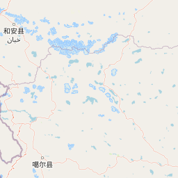


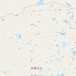


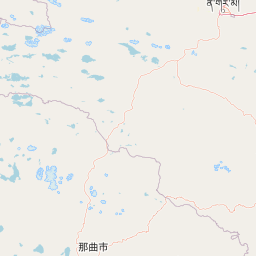


Leaflet | © OpenStreetMap
How far is it between Peshawar and Gangtok
Peshawar is located in Pakistan with (34.008,71.5785) coordinates and Gangtok is located in India with (27.3257,88.6122) coordinates. The calculated flying distance from Peshawar to Gangtok is equal to 1111 miles which is equal to 1787 km.
| City/Place | Latitude and Longitude | GPS Coordinates |
|---|---|---|
| Peshawar | 34.008, 71.5785 | 34° 0´ 28.8000'' N 71° 34´ 42.5640'' E |
| Gangtok | 27.3257, 88.6122 | 27° 19´ 32.6640'' N 88° 36´ 43.7760'' E |
Peshawar, Pakistan
Related Distances from Peshawar
| Cities | Distance |
|---|---|
| Peshawar to Delhi | 4818 km |
| Peshawar to Kolkata | 4536 km |
| Peshawar to Srinagar 2 | 4704 km |
| Peshawar to Patna | 4009 km |
| Peshawar to Jaipur | 4857 km |
Gangtok, India
Related Distances to Gangtok
| Cities | Distance |
|---|---|
| Delhi to Gangtok | 1574 km |
| Mumbai to Gangtok | 2356 km |
| Kolkata to Gangtok | 681 km |
| Bangalore to Gangtok | 2647 km |
| Bhopal to Gangtok | 1571 km |