Distance from Peto to Tegucigalpa
Distance between Peto and Tegucigalpa is 697 kilometers (433 miles).
Driving distance from Peto to Tegucigalpa is 1167 kilometers (725 miles).
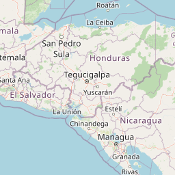
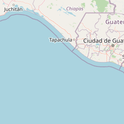
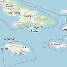
Distance Map Between Peto and Tegucigalpa
Peto, Merida, Mexico ↔ Tegucigalpa, Honduras = 433 miles = 697 km.


How far is it between Peto and Tegucigalpa
Peto is located in Mexico with (20.1278,-88.9228) coordinates and Tegucigalpa is located in Honduras with (14.0818,-87.2068) coordinates. The calculated flying distance from Peto to Tegucigalpa is equal to 433 miles which is equal to 697 km.
If you want to go by car, the driving distance between Peto and Tegucigalpa is 1167.35 km. If you ride your car with an average speed of 112 kilometers/hour (70 miles/h), travel time will be 10 hours 25 minutes. Please check the avg. speed travel time table on the right for various options.
Difference between fly and go by a car is 470 km.
| City/Place | Latitude and Longitude | GPS Coordinates |
|---|---|---|
| Peto | 20.1278, -88.9228 | 20° 7´ 39.9360'' N 88° 55´ 22.1520'' W |
| Tegucigalpa | 14.0818, -87.2068 | 14° 4´ 54.4800'' N 87° 12´ 24.5160'' W |
Estimated Travel Time Between Peto and Tegucigalpa
| Average Speed | Travel Time |
|---|---|
| 30 mph (48 km/h) | 24 hours 19 minutes |
| 40 mph (64 km/h) | 18 hours 14 minutes |
| 50 mph (80 km/h) | 14 hours 35 minutes |
| 60 mph (97 km/h) | 12 hours 02 minutes |
| 70 mph (112 km/h) | 10 hours 25 minutes |
| 75 mph (120 km/h) | 09 hours 43 minutes |
Related Distances to Tegucigalpa
| Cities | Distance |
|---|---|
| Mexico City to Tegucigalpa | 1828 km |
| Cancun to Tegucigalpa | 1277 km |
| Nuevo Laredo to Tegucigalpa | 2951 km |
| Guanajuato to Tegucigalpa | 2179 km |
| Leon to Tegucigalpa | 2204 km |