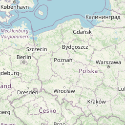
Distance from Plonsk to Wlochy
Distance between Plonsk and Wlochy is 63 kilometers (39 miles).
Distance Map Between Plonsk and Wlochy
Plonsk, Warsaw, Poland ↔ Wlochy, Warsaw, Poland = 39 miles = 63 km.


Leaflet | © OpenStreetMap
How far is it between Płońsk and Włochy
Plonsk is located in Poland with (52.6235,20.3755) coordinates and Wlochy is located in Poland with (52.1794,20.9461) coordinates. The calculated flying distance from Plonsk to Wlochy is equal to 39 miles which is equal to 63 km.
| City/Place | Latitude and Longitude | GPS Coordinates |
|---|---|---|
| Plonsk | 52.6235, 20.3755 | 52° 37´ 24.5280'' N 20° 22´ 31.8720'' E |
| Wlochy | 52.1794, 20.9461 | 52° 10´ 45.8760'' N 20° 56´ 46.0320'' E |
Plonsk, Warsaw, Poland
Related Distances from Plonsk
| Cities | Distance |
|---|---|
| Plonsk to Wawer | 82 km |
| Plonsk to Wola | 66 km |
| Plonsk to Zabki | 70 km |
| Plonsk to Sochaczew | 54 km |
| Plonsk to Ursus | 75 km |
Wlochy, Warsaw, Poland
Related Distances to Wlochy
| Cities | Distance |
|---|---|
| Plock to Wlochy | 122 km |
| Otwock to Wlochy | 32 km |
| Wawer to Wlochy | 24 km |
| Piastow to Wlochy | 11 km |
| Ciechanow to Wlochy | 106 km |