Distance from Plymouth to Poole
Distance between Plymouth and Poole is 156 kilometers (97 miles).
Driving distance from Plymouth to Poole is 196 kilometers (122 miles).
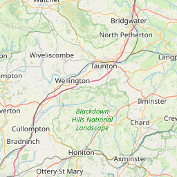
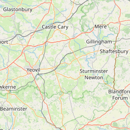
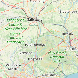
Distance Map Between Plymouth and Poole
Plymouth, London, United Kingdom ↔ Poole, London, United Kingdom = 97 miles = 156 km.


How far is it between Plymouth and Poole
Plymouth is located in United Kingdom with (50.3715,-4.1431) coordinates and Poole is located in United Kingdom with (50.7167,-2) coordinates. The calculated flying distance from Plymouth to Poole is equal to 97 miles which is equal to 156 km.
If you want to go by car, the driving distance between Plymouth and Poole is 195.75 km. If you ride your car with an average speed of 112 kilometers/hour (70 miles/h), travel time will be 01 hours 44 minutes. Please check the avg. speed travel time table on the right for various options.
Difference between fly and go by a car is 40 km.
| City/Place | Latitude and Longitude | GPS Coordinates |
|---|---|---|
| Plymouth | 50.3715, -4.1431 | 50° 22´ 17.5080'' N 4° 8´ 34.9800'' W |
| Poole | 50.7167, -2 | 50° 43´ 0.0120'' N 2° 0´ 0.0000'' W |
Estimated Travel Time Between Plymouth and Poole
| Average Speed | Travel Time |
|---|---|
| 30 mph (48 km/h) | 04 hours 04 minutes |
| 40 mph (64 km/h) | 03 hours 03 minutes |
| 50 mph (80 km/h) | 02 hours 26 minutes |
| 60 mph (97 km/h) | 02 hours 01 minutes |
| 70 mph (112 km/h) | 01 hours 44 minutes |
| 75 mph (120 km/h) | 01 hours 37 minutes |
Related Distances from Plymouth
| Cities | Distance |
|---|---|
| Plymouth to Portsmouth | 277 km |
| Plymouth to Sunderland | 647 km |
| Plymouth to Torquay | 55 km |
| Plymouth to Southampton | 245 km |
| Plymouth to Truro | 89 km |
Related Distances to Poole
| Cities | Distance |
|---|---|
| Bournemouth to Poole | 10 km |
| City Of London to Poole | 184 km |
| Bristol to Poole | 111 km |
| Brighton to Poole | 163 km |
| Plymouth to Poole | 196 km |