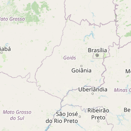
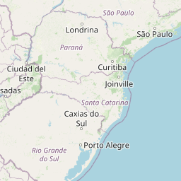
Distance from Poa to Votuporanga
Distance between Poa and Votuporanga is 509 kilometers (316 miles).
Driving distance from Poa to Votuporanga is 562 kilometers (349 miles).
Distance Map Between Poa and Votuporanga
Poa, Sao Paulo, Brazil ↔ Votuporanga, Sao Paulo, Brazil = 316 miles = 509 km.


How far is it between Poá and Votuporanga
Poa is located in Brazil with (-23.5281,-46.3447) coordinates and Votuporanga is located in Brazil with (-20.4228,-49.9728) coordinates. The calculated flying distance from Poa to Votuporanga is equal to 316 miles which is equal to 509 km.
If you want to go by car, the driving distance between Poa and Votuporanga is 562.22 km. If you ride your car with an average speed of 112 kilometers/hour (70 miles/h), travel time will be 05 hours 01 minutes. Please check the avg. speed travel time table on the right for various options.
Difference between fly and go by a car is 53 km.
| City/Place | Latitude and Longitude | GPS Coordinates |
|---|---|---|
| Poa | -23.5281, -46.3447 | 23° 31´ 41.0160'' S 46° 20´ 40.9920'' W |
| Votuporanga | -20.4228, -49.9728 | 20° 25´ 22.0080'' S 49° 58´ 22.0080'' W |
Estimated Travel Time Between Poá and Votuporanga
| Average Speed | Travel Time |
|---|---|
| 30 mph (48 km/h) | 11 hours 42 minutes |
| 40 mph (64 km/h) | 08 hours 47 minutes |
| 50 mph (80 km/h) | 07 hours 01 minutes |
| 60 mph (97 km/h) | 05 hours 47 minutes |
| 70 mph (112 km/h) | 05 hours 01 minutes |
| 75 mph (120 km/h) | 04 hours 41 minutes |
Related Distances from Poa
| Cities | Distance |
|---|---|
| Poa to Santa Rita Do Passa Quatro | 292 km |
| Poa to Sao Jose Do Rio Preto | 480 km |
| Poa to Sao Jose Dos Campos | 74 km |
| Poa to Sao Joao Da Boa Vista | 257 km |
| Poa to Ribeirao Pires | 29 km |
Related Distances to Votuporanga
| Cities | Distance |
|---|---|
| Itanhaem to Votuporanga | 650 km |
| Sao Carlos to Votuporanga | 289 km |
| Ubatuba to Votuporanga | 714 km |
| Monte Azul Paulista to Votuporanga | 177 km |
| Santa Barbara D Oeste to Votuporanga | 404 km |