Distance from Pokhara to Kolkata
Distance between Pokhara and Kolkata is 773 kilometers (480 miles).
Driving distance from Pokhara to Kolkata is 1013 kilometers (629 miles).
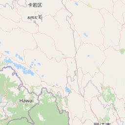
Distance Map Between Pokhara and Kolkata
Pokhara, Nepal ↔ Kolkata, India = 480 miles = 773 km.


How far is it between Pokhara and Kolkata
Pokhara is located in Nepal with (28.2669,83.9685) coordinates and Kolkata is located in India with (22.5626,88.363) coordinates. The calculated flying distance from Pokhara to Kolkata is equal to 480 miles which is equal to 773 km.
If you want to go by car, the driving distance between Pokhara and Kolkata is 1012.97 km. If you ride your car with an average speed of 112 kilometers/hour (70 miles/h), travel time will be 09 hours 02 minutes. Please check the avg. speed travel time table on the right for various options.
Difference between fly and go by a car is 240 km.
| City/Place | Latitude and Longitude | GPS Coordinates |
|---|---|---|
| Pokhara | 28.2669, 83.9685 | 28° 16´ 0.8040'' N 83° 58´ 6.6360'' E |
| Kolkata | 22.5626, 88.363 | 22° 33´ 45.4680'' N 88° 21´ 46.9440'' E |
Estimated Travel Time Between Pokhara and Kolkata
| Average Speed | Travel Time |
|---|---|
| 30 mph (48 km/h) | 21 hours 06 minutes |
| 40 mph (64 km/h) | 15 hours 49 minutes |
| 50 mph (80 km/h) | 12 hours 39 minutes |
| 60 mph (97 km/h) | 10 hours 26 minutes |
| 70 mph (112 km/h) | 09 hours 02 minutes |
| 75 mph (120 km/h) | 08 hours 26 minutes |
Related Distances from Pokhara
| Cities | Distance |
|---|---|
| Pokhara to Delhi | 1070 km |
| Pokhara to Kanpur | 602 km |
| Pokhara to Lucknow | 517 km |
| Pokhara to Mumbai | 1956 km |
| Pokhara to Surat | 1816 km |
Related Distances to Kolkata
| Cities | Distance |
|---|---|
| Kathmandu to Kolkata | 866 km |
| Nepalgunj to Kolkata | 1052 km |
| Biratnagar to Kolkata | 580 km |
| Jaleswar to Kolkata | 661 km |
| Tulsipur to Kolkata | 1082 km |