Distance from Pomona to Orange
Distance between Pomona and Orange is 31 kilometers (19 miles).
Driving distance from Pomona to Orange is 40 kilometers (25 miles).
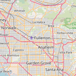
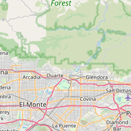
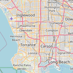
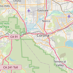
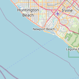
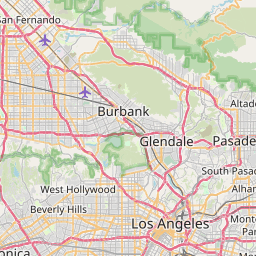
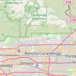
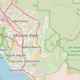
Distance Map Between Pomona and Orange
Pomona, Sacramento, United States ↔ Orange, Sacramento, United States = 19 miles = 31 km.

How far is it between Pomona and Orange
Pomona is located in United States with (34.0553,-117.7523) coordinates and Orange is located in United States with (33.7878,-117.8531) coordinates. The calculated flying distance from Pomona to Orange is equal to 19 miles which is equal to 31 km.
If you want to go by car, the driving distance between Pomona and Orange is 39.99 km. If you ride your car with an average speed of 112 kilometers/hour (70 miles/h), travel time will be 00 hours 21 minutes. Please check the avg. speed travel time table on the right for various options.
Difference between fly and go by a car is 9 km.
| City/Place | Latitude and Longitude | GPS Coordinates |
|---|---|---|
| Pomona | 34.0553, -117.7523 | 34° 3´ 19.0440'' N 117° 45´ 8.2080'' W |
| Orange | 33.7878, -117.8531 | 33° 47´ 16.0440'' N 117° 51´ 11.1960'' W |
Estimated Travel Time Between Pomona and Orange
| Average Speed | Travel Time |
|---|---|
| 30 mph (48 km/h) | 00 hours 49 minutes |
| 40 mph (64 km/h) | 00 hours 37 minutes |
| 50 mph (80 km/h) | 00 hours 29 minutes |
| 60 mph (97 km/h) | 00 hours 24 minutes |
| 70 mph (112 km/h) | 00 hours 21 minutes |
| 75 mph (120 km/h) | 00 hours 19 minutes |
Related Distances from Pomona
| Cities | Distance |
|---|---|
| Pomona to Los Angeles | 47 km |
| Pomona to Ontario | 10 km |
| Pomona to Pasadena 2 | 43 km |
| Pomona to Corona | 31 km |
| Pomona to Newport Beach | 61 km |
Related Distances to Orange
| Cities | Distance |
|---|---|
| Port Arthur to Orange 5 | 30 km |
| Pasadena 2 to Orange | 74 km |
| El Paso to Orange 5 | 1380 km |
| Temecula to Orange | 97 km |
| Santa Monica to Orange | 78 km |