Distance from Pompano Beach to Largo
Distance between Pompano Beach and Largo is 323 kilometers (200 miles).
Driving distance from Pompano Beach to Largo is 441 kilometers (274 miles).
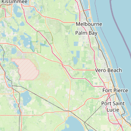
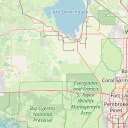
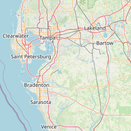
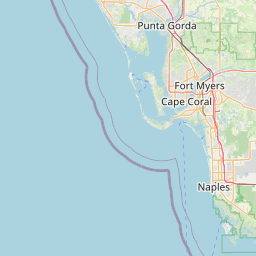
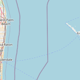
Distance Map Between Pompano Beach and Largo
Pompano Beach, Tallahassee, United States ↔ Largo, Tallahassee, United States = 200 miles = 323 km.


How far is it between Pompano Beach and Largo
Pompano Beach is located in United States with (26.2379,-80.1248) coordinates and Largo is located in United States with (27.9095,-82.7873) coordinates. The calculated flying distance from Pompano Beach to Largo is equal to 200 miles which is equal to 323 km.
If you want to go by car, the driving distance between Pompano Beach and Largo is 441.07 km. If you ride your car with an average speed of 112 kilometers/hour (70 miles/h), travel time will be 03 hours 56 minutes. Please check the avg. speed travel time table on the right for various options.
Difference between fly and go by a car is 118 km.
| City/Place | Latitude and Longitude | GPS Coordinates |
|---|---|---|
| Pompano Beach | 26.2379, -80.1248 | 26° 14´ 16.2960'' N 80° 7´ 29.1720'' W |
| Largo | 27.9095, -82.7873 | 27° 54´ 34.0920'' N 82° 47´ 14.3520'' W |
Estimated Travel Time Between Pompano Beach and Largo
| Average Speed | Travel Time |
|---|---|
| 30 mph (48 km/h) | 09 hours 11 minutes |
| 40 mph (64 km/h) | 06 hours 53 minutes |
| 50 mph (80 km/h) | 05 hours 30 minutes |
| 60 mph (97 km/h) | 04 hours 32 minutes |
| 70 mph (112 km/h) | 03 hours 56 minutes |
| 75 mph (120 km/h) | 03 hours 40 minutes |
Related Distances from Pompano Beach
| Cities | Distance |
|---|---|
| Pompano Beach to Boca Raton | 20 km |
| Pompano Beach to Delray Beach | 30 km |
| Pompano Beach to Coconut Creek | 8 km |
| Pompano Beach to Fort Myers | 234 km |
| Pompano Beach to Fort Lauderdale | 18 km |
Related Distances to Largo
| Cities | Distance |
|---|---|
| Orlando to Largo | 171 km |
| Tarpon Springs to Largo | 34 km |
| Seminole to Largo | 9 km |
| Tampa to Largo | 37 km |
| Miami to Largo | 453 km |