Distance from Ponnur to Chirala
Distance between Ponnur and Chirala is 35 kilometers (21 miles).
Driving distance from Ponnur to Chirala is 38 kilometers (24 miles).
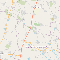
Distance Map Between Ponnur and Chirala
Ponnur, , India ↔ Chirala, , India = 21 miles = 35 km.


How far is it between Ponnur and Chīrāla
Ponnur is located in India with (16.0711,80.5494) coordinates and Chirala is located in India with (15.8247,80.3521) coordinates. The calculated flying distance from Ponnur to Chirala is equal to 21 miles which is equal to 35 km.
If you want to go by car, the driving distance between Ponnur and Chirala is 37.93 km. If you ride your car with an average speed of 112 kilometers/hour (70 miles/h), travel time will be 00 hours 20 minutes. Please check the avg. speed travel time table on the right for various options.
Difference between fly and go by a car is 3 km.
| City/Place | Latitude and Longitude | GPS Coordinates |
|---|---|---|
| Ponnur | 16.0711, 80.5494 | 16° 4´ 16.1040'' N 80° 32´ 57.9840'' E |
| Chirala | 15.8247, 80.3521 | 15° 49´ 28.7400'' N 80° 21´ 7.4160'' E |
Estimated Travel Time Between Ponnur and Chīrāla
| Average Speed | Travel Time |
|---|---|
| 30 mph (48 km/h) | 00 hours 47 minutes |
| 40 mph (64 km/h) | 00 hours 35 minutes |
| 50 mph (80 km/h) | 00 hours 28 minutes |
| 60 mph (97 km/h) | 00 hours 23 minutes |
| 70 mph (112 km/h) | 00 hours 20 minutes |
| 75 mph (120 km/h) | 00 hours 18 minutes |
Related Distances from Ponnur
| Cities | Distance |
|---|---|
| Ponnur to Guntur | 30 km |
| Ponnur to Bapatla | 22 km |
| Ponnur to Chirala | 38 km |
| Ponnur to Tirupati | 362 km |
| Ponnur to Mangalagiri | 45 km |
Related Distances to Chirala
| Cities | Distance |
|---|---|
| Addanki to Chirala | 54 km |
| Ponnur to Chirala | 38 km |
| Bapatla to Chirala | 16 km |
| Avanigadda to Chirala | 79 km |
| Bhattiprolu to Chirala | 58 km |