Distance from Pontiac to Canton
Distance between Pontiac and Canton is 40 kilometers (25 miles).
Driving distance from Pontiac to Canton is 55 kilometers (34 miles).
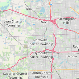
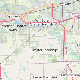
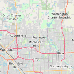
Distance Map Between Pontiac and Canton
Pontiac, Lansing, United States ↔ Canton, Lansing, United States = 25 miles = 40 km.

How far is it between Pontiac and Canton
Pontiac is located in United States with (42.6389,-83.2911) coordinates and Canton is located in United States with (42.3087,-83.4822) coordinates. The calculated flying distance from Pontiac to Canton is equal to 25 miles which is equal to 40 km.
If you want to go by car, the driving distance between Pontiac and Canton is 55.49 km. If you ride your car with an average speed of 112 kilometers/hour (70 miles/h), travel time will be 00 hours 29 minutes. Please check the avg. speed travel time table on the right for various options.
Difference between fly and go by a car is 15 km.
| City/Place | Latitude and Longitude | GPS Coordinates |
|---|---|---|
| Pontiac | 42.6389, -83.2911 | 42° 38´ 20.1120'' N 83° 17´ 27.7800'' W |
| Canton | 42.3087, -83.4822 | 42° 18´ 31.1400'' N 83° 28´ 55.7760'' W |
Estimated Travel Time Between Pontiac and Canton
| Average Speed | Travel Time |
|---|---|
| 30 mph (48 km/h) | 01 hours 09 minutes |
| 40 mph (64 km/h) | 00 hours 52 minutes |
| 50 mph (80 km/h) | 00 hours 41 minutes |
| 60 mph (97 km/h) | 00 hours 34 minutes |
| 70 mph (112 km/h) | 00 hours 29 minutes |
| 75 mph (120 km/h) | 00 hours 27 minutes |
Related Distances from Pontiac
| Cities | Distance |
|---|---|
| Pontiac to Detroit | 49 km |
| Pontiac to Grand Rapids | 245 km |
| Pontiac to Dearborn | 55 km |
| Pontiac to Flint | 70 km |
| Pontiac to Ann Arbor | 76 km |
Related Distances to Canton
| Cities | Distance |
|---|---|
| Cleveland to Canton 2 | 96 km |
| Detroit to Canton | 50 km |
| Norton 2 to Canton 4 | 34 km |
| Taylor to Canton | 29 km |
| Columbus 2 to Canton 3 | 231 km |