Distance from Port Chester to Coram
Distance between Port Chester and Coram is 58 kilometers (36 miles).
Driving distance from Port Chester to Coram is 110 kilometers (68 miles).
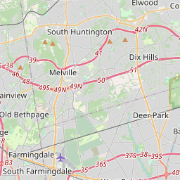
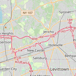
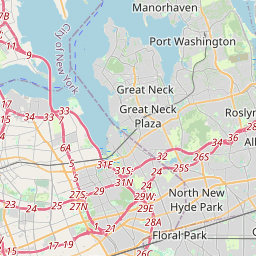
Distance Map Between Port Chester and Coram
Port Chester, Albany, United States ↔ Coram, Albany, United States = 36 miles = 58 km.


How far is it between Port Chester and Coram
Port Chester is located in United States with (41.0018,-73.6657) coordinates and Coram is located in United States with (40.8687,-73.0015) coordinates. The calculated flying distance from Port Chester to Coram is equal to 36 miles which is equal to 58 km.
If you want to go by car, the driving distance between Port Chester and Coram is 110.13 km. If you ride your car with an average speed of 112 kilometers/hour (70 miles/h), travel time will be 00 hours 58 minutes. Please check the avg. speed travel time table on the right for various options.
Difference between fly and go by a car is 52 km.
| City/Place | Latitude and Longitude | GPS Coordinates |
|---|---|---|
| Port Chester | 41.0018, -73.6657 | 41° 0´ 6.3360'' N 73° 39´ 56.4480'' W |
| Coram | 40.8687, -73.0015 | 40° 52´ 7.3560'' N 73° 0´ 5.3640'' W |
Estimated Travel Time Between Port Chester and Coram
| Average Speed | Travel Time |
|---|---|
| 30 mph (48 km/h) | 02 hours 17 minutes |
| 40 mph (64 km/h) | 01 hours 43 minutes |
| 50 mph (80 km/h) | 01 hours 22 minutes |
| 60 mph (97 km/h) | 01 hours 08 minutes |
| 70 mph (112 km/h) | 00 hours 58 minutes |
| 75 mph (120 km/h) | 00 hours 55 minutes |
Related Distances from Port Chester
| Cities | Distance |
|---|---|
| Port Chester to Amherst | 638 km |
| Port Chester to Amsterdam 2 | 282 km |
| Port Chester to Auburn 3 | 413 km |
| Port Chester to Baldwin | 62 km |
| Port Chester to Batavia 2 | 561 km |
| Port Chester to Bay Shore | 92 km |
| Port Chester to Beacon | 98 km |
| Port Chester to Bellmore | 71 km |
| Port Chester to Bensonhurst | 70 km |
| Port Chester to Bethpage | 69 km |
Related Distances to Coram
| Cities | Distance |
|---|---|
| Manhattan to Coram | 99 km |
| East Massapequa to Coram | 51 km |
| West Hempstead to Coram | 72 km |
| North Babylon to Coram | 42 km |
| Melville to Coram | 44 km |
| Westbury to Coram | 58 km |
| Freeport to Coram | 68 km |
| Scarsdale to Coram | 109 km |
| Dix Hills to Coram | 37 km |
| Smithtown to Coram | 18 km |