Distance from Port-Vila to Taree
Distance between Port-Vila and Taree is 2242 kilometers (1393 miles).
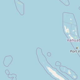
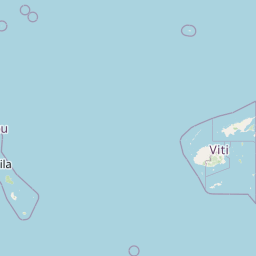
Distance Map Between Port-Vila and Taree
Port-Vila, Vanuatu ↔ Taree, Sydney, Australia = 1393 miles = 2242 km.
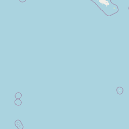

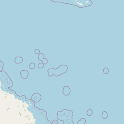

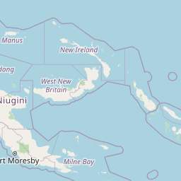
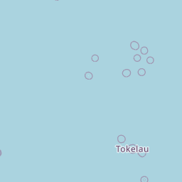


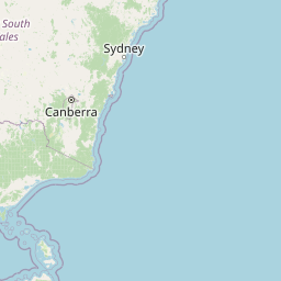
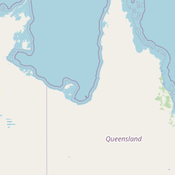
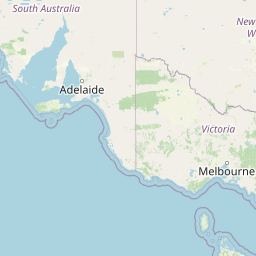


Leaflet | © OpenStreetMap
How far is it between Port-Vila and Taree
Port-Vila is located in Vanuatu with (-17.7338,168.3219) coordinates and Taree is located in Australia with (-31.911,152.4539) coordinates. The calculated flying distance from Port-Vila to Taree is equal to 1393 miles which is equal to 2242 km.
| City/Place | Latitude and Longitude | GPS Coordinates |
|---|---|---|
| Port-Vila | -17.7338, 168.3219 | 17° 44´ 1.7160'' S 168° 19´ 18.7680'' E |
| Taree | -31.911, 152.4539 | 31° 54´ 39.5640'' S 152° 27´ 13.9320'' E |
Taree, Sydney, Australia
Related Distances to Taree
| Cities | Distance |
|---|---|
| Castle Hill to Taree | 299 km |
| Armidale to Taree | 300 km |
| Port Stephens to Taree | 172 km |
| Blacktown to Taree | 308 km |
| Newcastle 2 to Taree | 170 km |
| Nowra to Taree | 480 km |
| Maitland to Taree | 170 km |
| Orange 2 to Taree | 529 km |
| Mosman to Taree | 310 km |
| Goulburn to Taree | 495 km |