Distance from Prestwick to Essen
Distance between Prestwick and Essen is 889 kilometers (552 miles).
Driving distance from Prestwick to Essen is 1213 kilometers (754 miles).
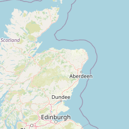
Distance Map Between Prestwick and Essen
Prestwick, Edinburgh, United Kingdom ↔ Essen, Dusseldorf, Germany = 552 miles = 889 km.


How far is it between Prestwick and Essen
Prestwick is located in United Kingdom with (55.4833,-4.6167) coordinates and Essen is located in Germany with (51.4566,7.0123) coordinates. The calculated flying distance from Prestwick to Essen is equal to 552 miles which is equal to 889 km.
If you want to go by car, the driving distance between Prestwick and Essen is 1213.15 km. If you ride your car with an average speed of 112 kilometers/hour (70 miles/h), travel time will be 10 hours 49 minutes. Please check the avg. speed travel time table on the right for various options.
Difference between fly and go by a car is 324 km.
| City/Place | Latitude and Longitude | GPS Coordinates |
|---|---|---|
| Prestwick | 55.4833, -4.6167 | 55° 28´ 59.9880'' N 4° 37´ 0.0120'' W |
| Essen | 51.4566, 7.0123 | 51° 27´ 23.6520'' N 7° 0´ 44.2080'' E |
Estimated Travel Time Between Prestwick and Essen
| Average Speed | Travel Time |
|---|---|
| 30 mph (48 km/h) | 25 hours 16 minutes |
| 40 mph (64 km/h) | 18 hours 57 minutes |
| 50 mph (80 km/h) | 15 hours 09 minutes |
| 60 mph (97 km/h) | 12 hours 30 minutes |
| 70 mph (112 km/h) | 10 hours 49 minutes |
| 75 mph (120 km/h) | 10 hours 06 minutes |
Related Distances from Prestwick
| Cities | Distance |
|---|---|
| Prestwick to Munich | 1778 km |
| Prestwick to Hamburg | 1568 km |
| Prestwick to Berlin | 1738 km |
| Prestwick to Frankfurt Am Main | 1409 km |
| Prestwick to Stuttgart | 1562 km |
Related Distances to Essen
| Cities | Distance |
|---|---|
| London to Essen | 584 km |
| Belfast to Essen | 1341 km |
| Birmingham to Essen | 790 km |
| Aberdeen to Essen | 1418 km |
| Hamilton 4 to Essen | 1186 km |