Distance from Punahana to Kabul
Distance between Punahana and Kabul is 1064 kilometers (661 miles).
Distance Map Between Punahana and Kabul
Punahana, , India ↔ Kabul, Afghanistan = 661 miles = 1064 km.


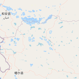


Leaflet | © OpenStreetMap
How far is it between Punāhāna and Kabul
Punahana is located in India with (27.8635,77.2043) coordinates and Kabul is located in Afghanistan with (34.5281,69.1723) coordinates. The calculated flying distance from Punahana to Kabul is equal to 661 miles which is equal to 1064 km.
| City/Place | Latitude and Longitude | GPS Coordinates |
|---|---|---|
| Punahana | 27.8635, 77.2043 | 27° 51´ 48.5640'' N 77° 12´ 15.6240'' E |
| Kabul | 34.5281, 69.1723 | 34° 31´ 41.2680'' N 69° 10´ 20.3880'' E |
Punahana, , India
Related Distances from Punahana
| Cities | Distance |
|---|---|
| Punahana to Rewari | 131 km |
| Punahana to Sohna | 60 km |
| Punahana to Rohtak | 183 km |
| Punahana to Safidon | 232 km |
| Punahana to Tohana | 324 km |
Kabul, Afghanistan
Related Distances to Kabul
| Cities | Distance |
|---|---|
| New Delhi to Kabul | 4998 km |
| Delhi to Kabul | 4999 km |
| Srinagar to Kabul | 5778 km |
| Amritsar to Kabul | 5654 km |
| Kolkata to Kabul | 4877 km |