Distance from Puning to Shantou
Distance between Puning and Shantou is 56 kilometers (35 miles).
Driving distance from Puning to Shantou is 72 kilometers (45 miles).
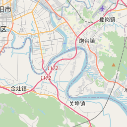
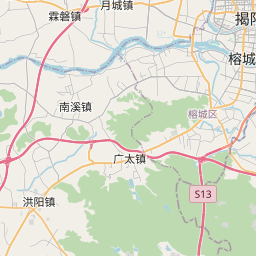
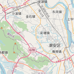
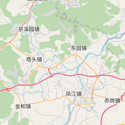
Distance Map Between Puning and Shantou
Puning, Guangzhou, China ↔ Shantou, Guangzhou, China = 35 miles = 56 km.


How far is it between Puning and Shantou
Puning is located in China with (23.3107,116.1687) coordinates and Shantou is located in China with (23.3681,116.7148) coordinates. The calculated flying distance from Puning to Shantou is equal to 35 miles which is equal to 56 km.
If you want to go by car, the driving distance between Puning and Shantou is 72.48 km. If you ride your car with an average speed of 112 kilometers/hour (70 miles/h), travel time will be 00 hours 38 minutes. Please check the avg. speed travel time table on the right for various options.
Difference between fly and go by a car is 16 km.
| City/Place | Latitude and Longitude | GPS Coordinates |
|---|---|---|
| Puning | 23.3107, 116.1687 | 23° 18´ 38.5920'' N 116° 10´ 7.2840'' E |
| Shantou | 23.3681, 116.7148 | 23° 22´ 5.3040'' N 116° 42´ 53.2440'' E |
Estimated Travel Time Between Puning and Shantou
| Average Speed | Travel Time |
|---|---|
| 30 mph (48 km/h) | 01 hours 30 minutes |
| 40 mph (64 km/h) | 01 hours 07 minutes |
| 50 mph (80 km/h) | 00 hours 54 minutes |
| 60 mph (97 km/h) | 00 hours 44 minutes |
| 70 mph (112 km/h) | 00 hours 38 minutes |
| 75 mph (120 km/h) | 00 hours 36 minutes |
Related Distances from Puning
| Cities | Distance |
|---|---|
| Puning to Shantou | 72 km |
| Puning to Shenzhen | 277 km |
| Puning to Jieyang | 39 km |
| Puning to Shanwei | 141 km |
| Puning to Yunfu | 513 km |
Related Distances to Shantou
| Cities | Distance |
|---|---|
| Chaozhou to Shantou | 49 km |
| Jieyang to Shantou | 49 km |
| Dongguan to Shantou | 383 km |
| Meizhou to Shantou | 158 km |
| Foshan to Shantou | 463 km |