Distance from Quetta to Khatima
Distance between Quetta and Khatima is 1261 kilometers (783 miles).
Distance Map Between Quetta and Khatima
Quetta, Pakistan ↔ Khatima, Dehradun, India = 783 miles = 1261 km.


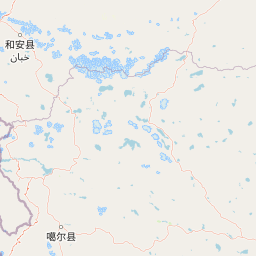


Leaflet | © OpenStreetMap
How far is it between Quetta and Khatīma
Quetta is located in Pakistan with (30.199,67.0097) coordinates and Khatima is located in India with (28.9222,79.9702) coordinates. The calculated flying distance from Quetta to Khatima is equal to 783 miles which is equal to 1261 km.
| City/Place | Latitude and Longitude | GPS Coordinates |
|---|---|---|
| Quetta | 30.199, 67.0097 | 30° 11´ 56.4000'' N 67° 0´ 34.9560'' E |
| Khatima | 28.9222, 79.9702 | 28° 55´ 19.9560'' N 79° 58´ 12.5400'' E |
Quetta, Pakistan
Related Distances from Quetta
| Cities | Distance |
|---|---|
| Quetta to Kolhapur | 6675 km |
| Quetta to Bela | 4967 km |
| Quetta to Lucknow | 5012 km |
| Quetta to Kanpur | 5102 km |
| Quetta to Nashik | 6675 km |
Khatima, Dehradun, India
Related Distances to Khatima
| Cities | Distance |
|---|---|
| Haldwani to Khatima | 75 km |
| Kashipur to Khatima | 134 km |
| Bazpur to Khatima | 107 km |
| Almora to Khatima | 161 km |
| Jaspur to Khatima | 140 km |