Distance from Quinte West to Clarence-Rockland
Distance between Quinte West and Clarence-Rockland is 235 kilometers (146 miles).
Driving distance from Quinte West to Clarence-Rockland is 318 kilometers (198 miles).
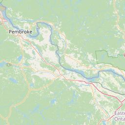
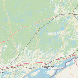
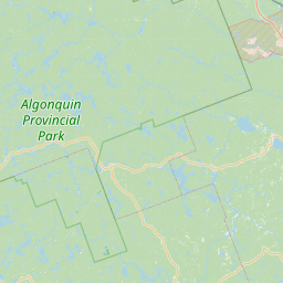
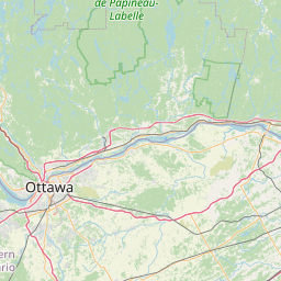
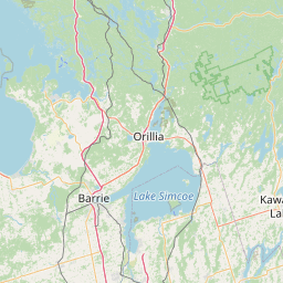
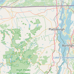
Distance Map Between Quinte West and Clarence-Rockland
Quinte West, Ontario, Canada ↔ Clarence-Rockland, Ontario, Canada = 146 miles = 235 km.


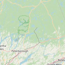
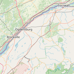
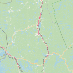
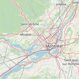

How far is it between Quinte West and Clarence-Rockland
Quinte West is located in Canada with (44.1834,-77.5662) coordinates and Clarence-Rockland is located in Canada with (45.5501,-75.291) coordinates. The calculated flying distance from Quinte West to Clarence-Rockland is equal to 146 miles which is equal to 235 km.
If you want to go by car, the driving distance between Quinte West and Clarence-Rockland is 318.32 km. If you ride your car with an average speed of 112 kilometers/hour (70 miles/h), travel time will be 02 hours 50 minutes. Please check the avg. speed travel time table on the right for various options.
Difference between fly and go by a car is 83 km.
| City/Place | Latitude and Longitude | GPS Coordinates |
|---|---|---|
| Quinte West | 44.1834, -77.5662 | 44° 11´ 0.3120'' N 77° 33´ 58.2480'' W |
| Clarence-Rockland | 45.5501, -75.291 | 45° 33´ 0.3600'' N 75° 17´ 27.6360'' W |
Estimated Travel Time Between Quinte West and Clarence-Rockland
| Average Speed | Travel Time |
|---|---|
| 30 mph (48 km/h) | 06 hours 37 minutes |
| 40 mph (64 km/h) | 04 hours 58 minutes |
| 50 mph (80 km/h) | 03 hours 58 minutes |
| 60 mph (97 km/h) | 03 hours 16 minutes |
| 70 mph (112 km/h) | 02 hours 50 minutes |
| 75 mph (120 km/h) | 02 hours 39 minutes |
Related Distances from Quinte West
| Cities | Distance |
|---|---|
| Quinte West to Belleville | 20 km |
| Quinte West to Kingston 2 | 97 km |
| Quinte West to Peterborough 2 | 96 km |
| Quinte West to Cobourg | 63 km |
| Quinte West to Ottawa | 282 km |
Related Distances to Clarence-Rockland
| Cities | Distance |
|---|---|
| Ottawa to Clarence Rockland | 38 km |
| Toronto to Clarence Rockland | 484 km |
| Cornwall to Clarence Rockland | 86 km |
| Kingston 2 to Clarence Rockland | 230 km |
| Niagara Falls to Clarence Rockland | 613 km |