Distance from Rabat to Beni Mered
Distance between Rabat and Beni Mered is 923 kilometers (573 miles).
Driving distance from Rabat to Beni Mered is 1383 kilometers (859 miles).
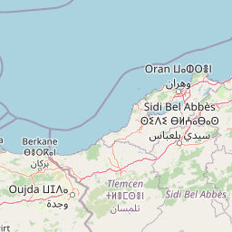
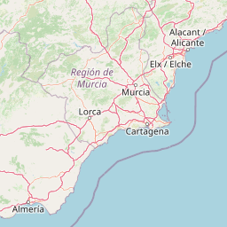
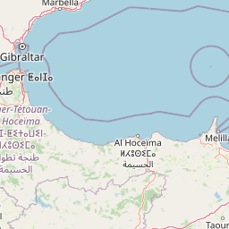
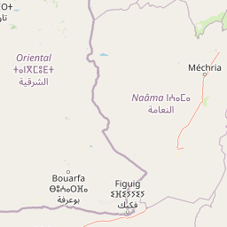
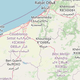
Distance Map Between Rabat and Beni Mered
Rabat, Morocco ↔ Beni Mered, Blida, Algeria = 573 miles = 923 km.


How far is it between Rabat and Beni Mered
Rabat is located in Morocco with (34.0133,-6.8326) coordinates and Beni Mered is located in Algeria with (36.5239,2.8613) coordinates. The calculated flying distance from Rabat to Beni Mered is equal to 573 miles which is equal to 923 km.
If you want to go by car, the driving distance between Rabat and Beni Mered is 1383.09 km. If you ride your car with an average speed of 112 kilometers/hour (70 miles/h), travel time will be 12 hours 20 minutes. Please check the avg. speed travel time table on the right for various options.
Difference between fly and go by a car is 460 km.
| City/Place | Latitude and Longitude | GPS Coordinates |
|---|---|---|
| Rabat | 34.0133, -6.8326 | 34° 0´ 47.7000'' N 6° 49´ 57.1800'' W |
| Beni Mered | 36.5239, 2.8613 | 36° 31´ 26.0040'' N 2° 51´ 40.7160'' E |
Estimated Travel Time Between Rabat and Beni Mered
| Average Speed | Travel Time |
|---|---|
| 30 mph (48 km/h) | 28 hours 48 minutes |
| 40 mph (64 km/h) | 21 hours 36 minutes |
| 50 mph (80 km/h) | 17 hours 17 minutes |
| 60 mph (97 km/h) | 14 hours 15 minutes |
| 70 mph (112 km/h) | 12 hours 20 minutes |
| 75 mph (120 km/h) | 11 hours 31 minutes |
Related Distances from Rabat
| Cities | Distance |
|---|---|
| Rabat to Abou El Hassan | 1273 km |
| Rabat to Adrar | 1508 km |
| Rabat to Ain Arnat | 1668 km |
| Rabat to Ain Beida | 1661 km |
| Rabat to Ain Benian | 1423 km |
| Rabat to Ain Bessem | 1525 km |
| Rabat to Ain Defla | 1082 km |
| Rabat to Ain Deheb | 1237 km |
| Rabat to Ain El Berd | 1026 km |
| Rabat to Ain El Bya | 1088 km |
Related Distances to Beni Mered
| Cities | Distance |
|---|---|
| Sale to Beni Mered | 1383 km |
| Rabat to Beni Mered | 1383 km |