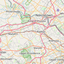
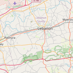
Distance from Radnor to Lebanon
Distance between Radnor and Lebanon is 95 kilometers (59 miles).
Driving distance from Radnor to Lebanon is 121 kilometers (75 miles).
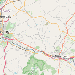
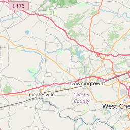
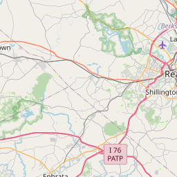
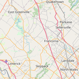
Distance Map Between Radnor and Lebanon
Radnor, Harrisburg, United States ↔ Lebanon, Harrisburg, United States = 59 miles = 95 km.


How far is it between Radnor and Lebanon
Radnor is located in United States with (40.0462,-75.3599) coordinates and Lebanon is located in United States with (40.3409,-76.4114) coordinates. The calculated flying distance from Radnor to Lebanon is equal to 59 miles which is equal to 95 km.
If you want to go by car, the driving distance between Radnor and Lebanon is 121.08 km. If you ride your car with an average speed of 112 kilometers/hour (70 miles/h), travel time will be 01 hours 04 minutes. Please check the avg. speed travel time table on the right for various options.
Difference between fly and go by a car is 26 km.
| City/Place | Latitude and Longitude | GPS Coordinates |
|---|---|---|
| Radnor | 40.0462, -75.3599 | 40° 2´ 46.3920'' N 75° 21´ 35.6760'' W |
| Lebanon | 40.3409, -76.4114 | 40° 20´ 27.3480'' N 76° 24´ 40.8600'' W |
Estimated Travel Time Between Radnor and Lebanon
| Average Speed | Travel Time |
|---|---|
| 30 mph (48 km/h) | 02 hours 31 minutes |
| 40 mph (64 km/h) | 01 hours 53 minutes |
| 50 mph (80 km/h) | 01 hours 30 minutes |
| 60 mph (97 km/h) | 01 hours 14 minutes |
| 70 mph (112 km/h) | 01 hours 04 minutes |
| 75 mph (120 km/h) | 01 hours 00 minutes |
Related Distances from Radnor
| Cities | Distance |
|---|---|
| Radnor to Penn Hills | 462 km |
| Radnor to King Of Prussia | 8 km |
| Radnor to Philadelphia | 29 km |
| Radnor to West Chester | 36 km |
| Radnor to Phoenixville | 21 km |
Related Distances to Lebanon
| Cities | Distance |
|---|---|
| Reading 2 to Lebanon 2 | 46 km |
| New Castle to Lebanon 2 | 455 km |
| Pittsburgh to Lebanon 2 | 377 km |
| Wilkes Barre to Lebanon 2 | 144 km |
| Phoenixville to Lebanon 2 | 109 km |