Distance from Rajampet to Rayachoti
Distance between Rajampet and Rayachoti is 47 kilometers (29 miles).
Driving distance from Rajampet to Rayachoti is 56 kilometers (35 miles).
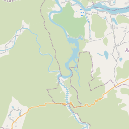
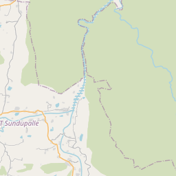
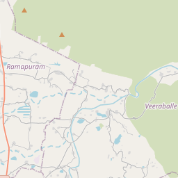
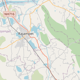
Distance Map Between Rajampet and Rayachoti
Rajampet, , India ↔ Rayachoti, , India = 29 miles = 47 km.


How far is it between Rājampet and Rāyachoti
Rajampet is located in India with (14.1951,79.1591) coordinates and Rayachoti is located in India with (14.0568,78.7513) coordinates. The calculated flying distance from Rajampet to Rayachoti is equal to 29 miles which is equal to 47 km.
If you want to go by car, the driving distance between Rajampet and Rayachoti is 56.12 km. If you ride your car with an average speed of 112 kilometers/hour (70 miles/h), travel time will be 00 hours 30 minutes. Please check the avg. speed travel time table on the right for various options.
Difference between fly and go by a car is 9 km.
| City/Place | Latitude and Longitude | GPS Coordinates |
|---|---|---|
| Rajampet | 14.1951, 79.1591 | 14° 11´ 42.2880'' N 79° 9´ 32.9040'' E |
| Rayachoti | 14.0568, 78.7513 | 14° 3´ 24.4800'' N 78° 45´ 4.5720'' E |
Estimated Travel Time Between Rājampet and Rāyachoti
| Average Speed | Travel Time |
|---|---|
| 30 mph (48 km/h) | 01 hours 10 minutes |
| 40 mph (64 km/h) | 00 hours 52 minutes |
| 50 mph (80 km/h) | 00 hours 42 minutes |
| 60 mph (97 km/h) | 00 hours 34 minutes |
| 70 mph (112 km/h) | 00 hours 30 minutes |
| 75 mph (120 km/h) | 00 hours 28 minutes |
Related Distances from Rajampet
| Cities | Distance |
|---|---|
| Rajampet to Rayachoti | 56 km |
| Rajampet to Tirupati | 87 km |
| Rajampet to Venkatagiri | 89 km |
| Rajampet to Srisailam | 282 km |
| Rajampet to Visakhapatnam | 747 km |
Related Distances to Rayachoti
| Cities | Distance |
|---|---|
| Madanapalle to Rayachoti | 71 km |
| Kadiri to Rayachoti | 71 km |
| Rajampet to Rayachoti | 56 km |
| Anantapur to Rayachoti | 163 km |
| Proddatur to Rayachoti | 104 km |