Distance from Redan to Augusta
Distance between Redan and Augusta is 202 kilometers (126 miles).
Driving distance from Redan to Augusta is 216 kilometers (134 miles).
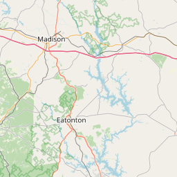
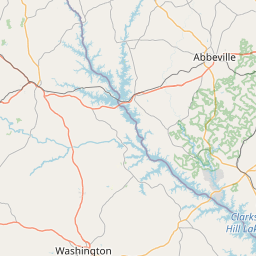
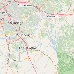
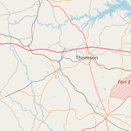
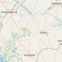
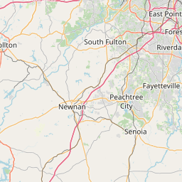
Distance Map Between Redan and Augusta
Redan, Atlanta, United States ↔ Augusta, Atlanta, United States = 126 miles = 202 km.


How far is it between Redan and Augusta
Redan is located in United States with (33.7454,-84.1316) coordinates and Augusta is located in United States with (33.471,-81.9748) coordinates. The calculated flying distance from Redan to Augusta is equal to 126 miles which is equal to 202 km.
If you want to go by car, the driving distance between Redan and Augusta is 215.93 km. If you ride your car with an average speed of 112 kilometers/hour (70 miles/h), travel time will be 01 hours 55 minutes. Please check the avg. speed travel time table on the right for various options.
Difference between fly and go by a car is 14 km.
| City/Place | Latitude and Longitude | GPS Coordinates |
|---|---|---|
| Redan | 33.7454, -84.1316 | 33° 44´ 43.3680'' N 84° 7´ 53.6880'' W |
| Augusta | 33.471, -81.9748 | 33° 28´ 15.4920'' N 81° 58´ 29.4240'' W |
Estimated Travel Time Between Redan and Augusta
| Average Speed | Travel Time |
|---|---|
| 30 mph (48 km/h) | 04 hours 29 minutes |
| 40 mph (64 km/h) | 03 hours 22 minutes |
| 50 mph (80 km/h) | 02 hours 41 minutes |
| 60 mph (97 km/h) | 02 hours 13 minutes |
| 70 mph (112 km/h) | 01 hours 55 minutes |
| 75 mph (120 km/h) | 01 hours 47 minutes |
Related Distances from Redan
| Cities | Distance |
|---|---|
| Redan to Conyers | 18 km |
| Redan to Alpharetta | 60 km |
| Redan to Macon | 147 km |
| Redan to Decatur 3 | 17 km |
| Redan to Athens 2 | 89 km |
Related Distances to Augusta
| Cities | Distance |
|---|---|
| Athens 2 to Augusta | 158 km |
| Savannah to Augusta | 208 km |
| Macon to Augusta | 200 km |
| Statesboro to Augusta | 130 km |
| Phoenix to Augusta 3 | 4510 km |