Distance from Redan to Calhoun
Distance between Redan and Calhoun is 113 kilometers (70 miles).
Driving distance from Redan to Calhoun is 143 kilometers (89 miles).
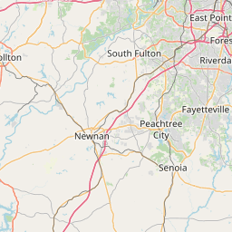
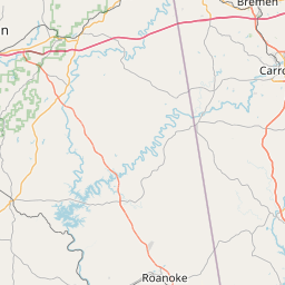
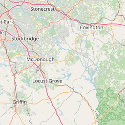
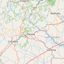
Distance Map Between Redan and Calhoun
Redan, Atlanta, United States ↔ Calhoun, Atlanta, United States = 70 miles = 113 km.


How far is it between Redan and Calhoun
Redan is located in United States with (33.7454,-84.1316) coordinates and Calhoun is located in United States with (34.5026,-84.9511) coordinates. The calculated flying distance from Redan to Calhoun is equal to 70 miles which is equal to 113 km.
If you want to go by car, the driving distance between Redan and Calhoun is 143.06 km. If you ride your car with an average speed of 112 kilometers/hour (70 miles/h), travel time will be 01 hours 16 minutes. Please check the avg. speed travel time table on the right for various options.
Difference between fly and go by a car is 30 km.
| City/Place | Latitude and Longitude | GPS Coordinates |
|---|---|---|
| Redan | 33.7454, -84.1316 | 33° 44´ 43.3680'' N 84° 7´ 53.6880'' W |
| Calhoun | 34.5026, -84.9511 | 34° 30´ 9.3240'' N 84° 57´ 3.7800'' W |
Estimated Travel Time Between Redan and Calhoun
| Average Speed | Travel Time |
|---|---|
| 30 mph (48 km/h) | 02 hours 58 minutes |
| 40 mph (64 km/h) | 02 hours 14 minutes |
| 50 mph (80 km/h) | 01 hours 47 minutes |
| 60 mph (97 km/h) | 01 hours 28 minutes |
| 70 mph (112 km/h) | 01 hours 16 minutes |
| 75 mph (120 km/h) | 01 hours 11 minutes |
Related Distances from Redan
| Cities | Distance |
|---|---|
| Redan to Conyers | 18 km |
| Redan to Alpharetta | 60 km |
| Redan to Macon | 147 km |
| Redan to Decatur 3 | 17 km |
| Redan to Athens 2 | 89 km |
Related Distances to Calhoun
| Cities | Distance |
|---|---|
| Rome 2 to Calhoun | 36 km |
| Dalton to Calhoun | 35 km |
| Tifton to Calhoun | 402 km |
| Valdosta to Calhoun | 477 km |
| Macon to Calhoun | 245 km |